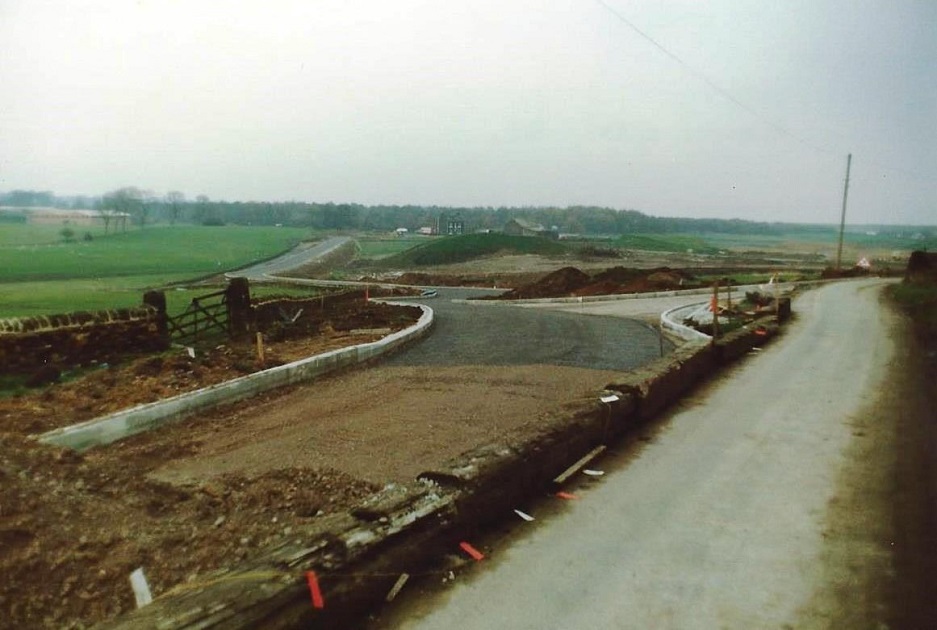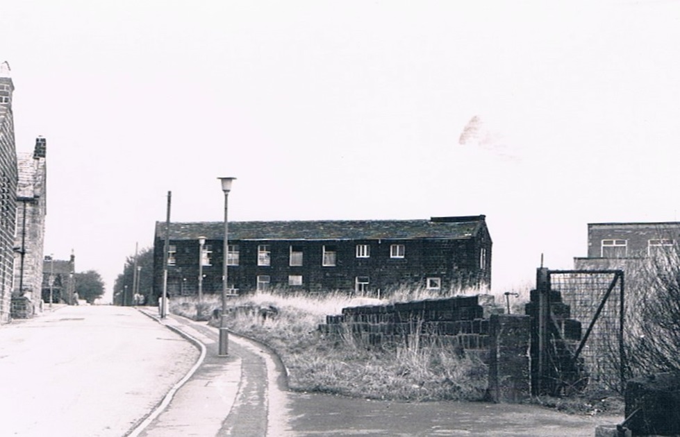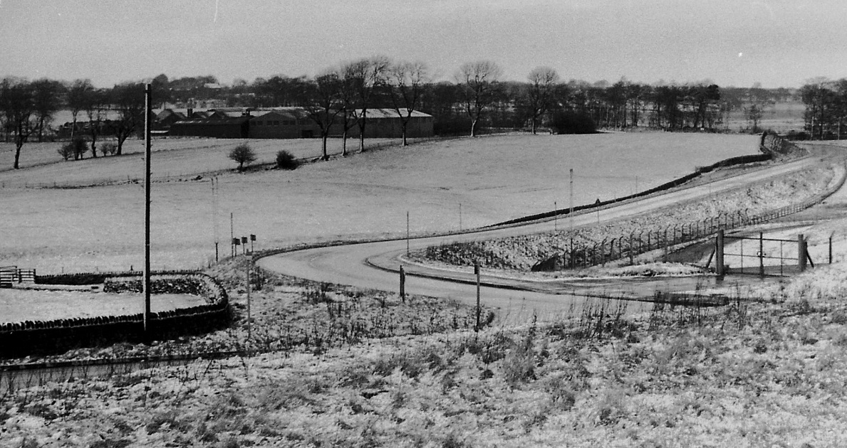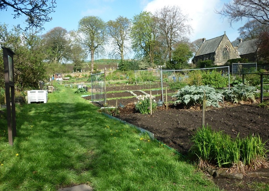
V162 – Cemetery Road, 2015.
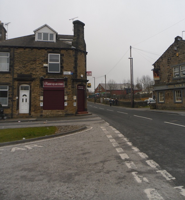
Cemetery Road – 2015
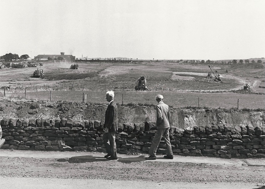
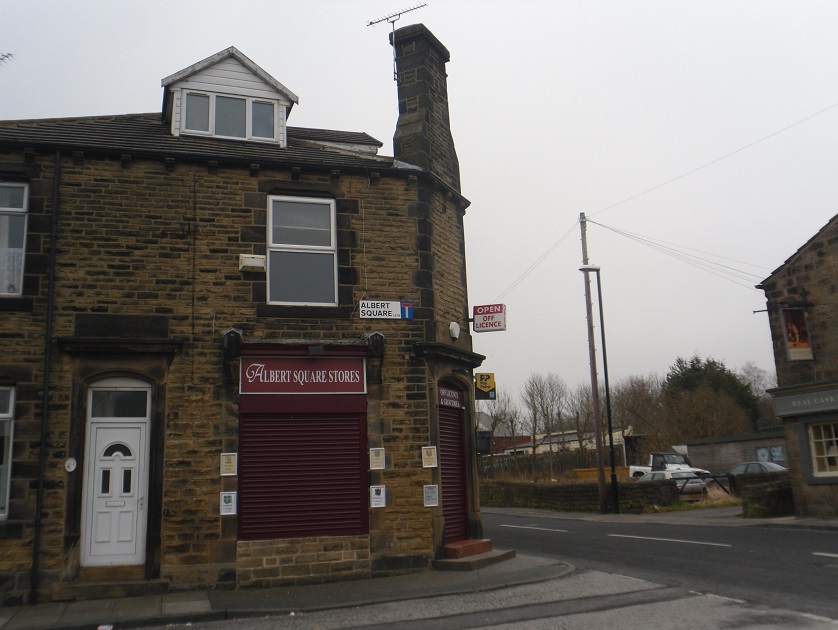
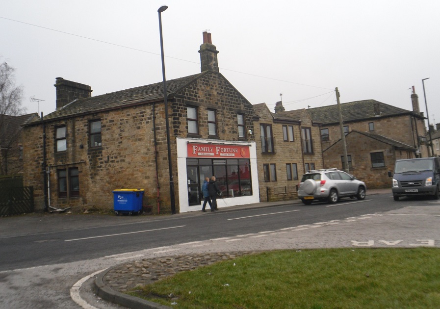
To the left is Albert Square Stores, to the right on Cemetery Road is the New Inn.
Photographer Joanne Coultas.
Cemetery Road – 2015
November 29th 2015: The following photos and text were donated by Kelly Chadwick:
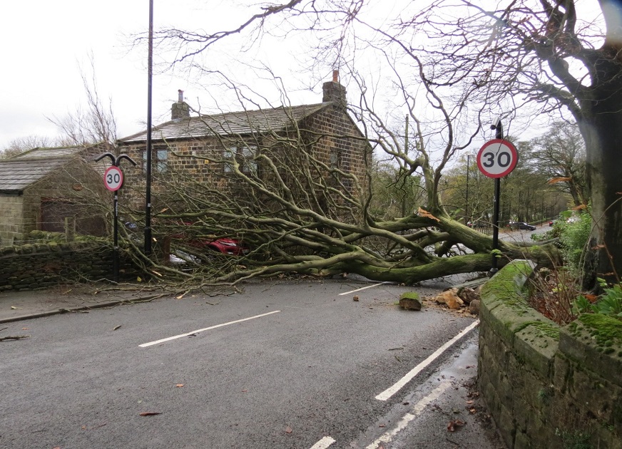
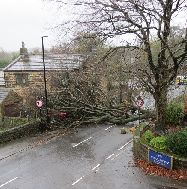
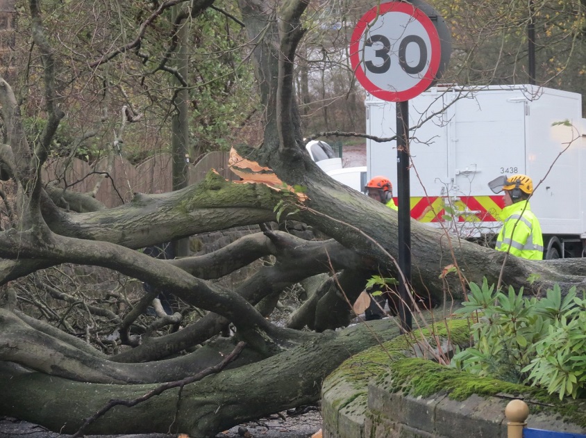
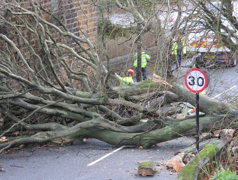
Storm Clodagh rushed across the country on 29th November 2015, causing damage to buildings and property whilst also disrupting landings at the Airport.
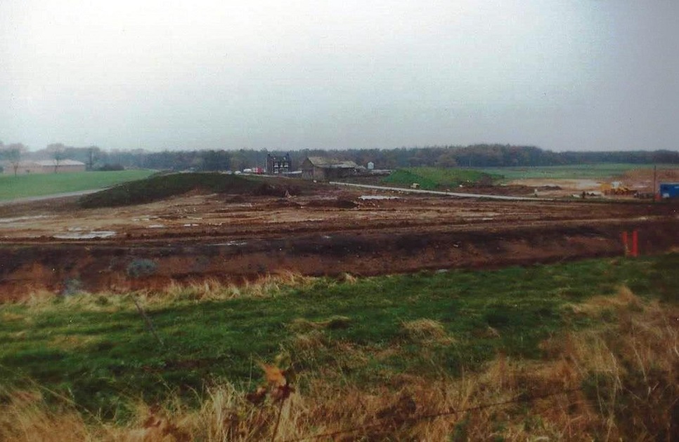
This tree had been previously noted as unstable by the residents of Cemetery Lodge as well as Damfield Farm and finally fell victim to the wind during the storm.
It caused considerable damage to the two vehicles parked at Damfield Farm but luckily not to the building and was later chopped up and partially removed by the Council – lots of the wood was thrown into the adjacent allotments.
Cemetery Road – Undated
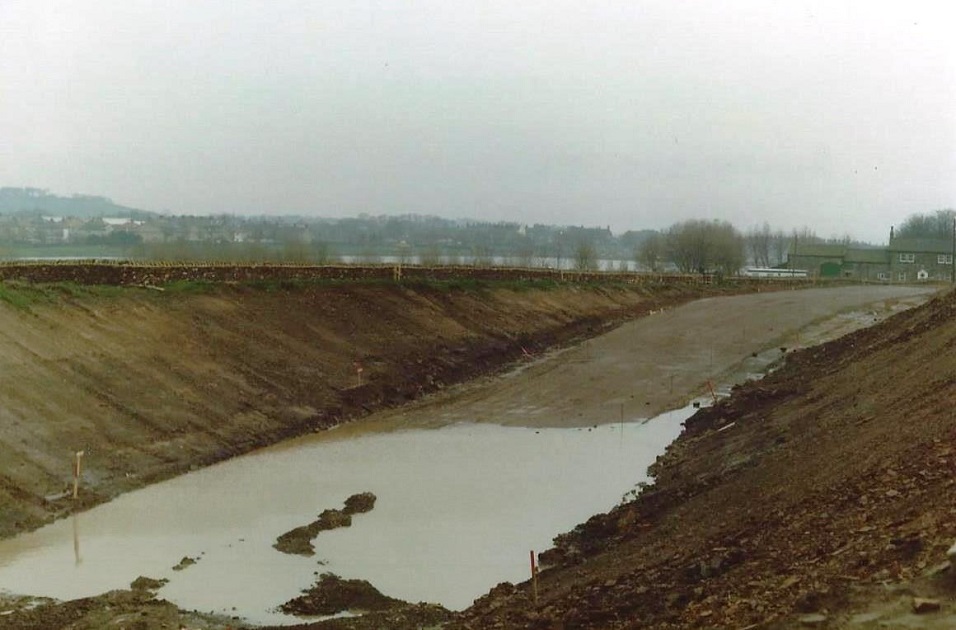
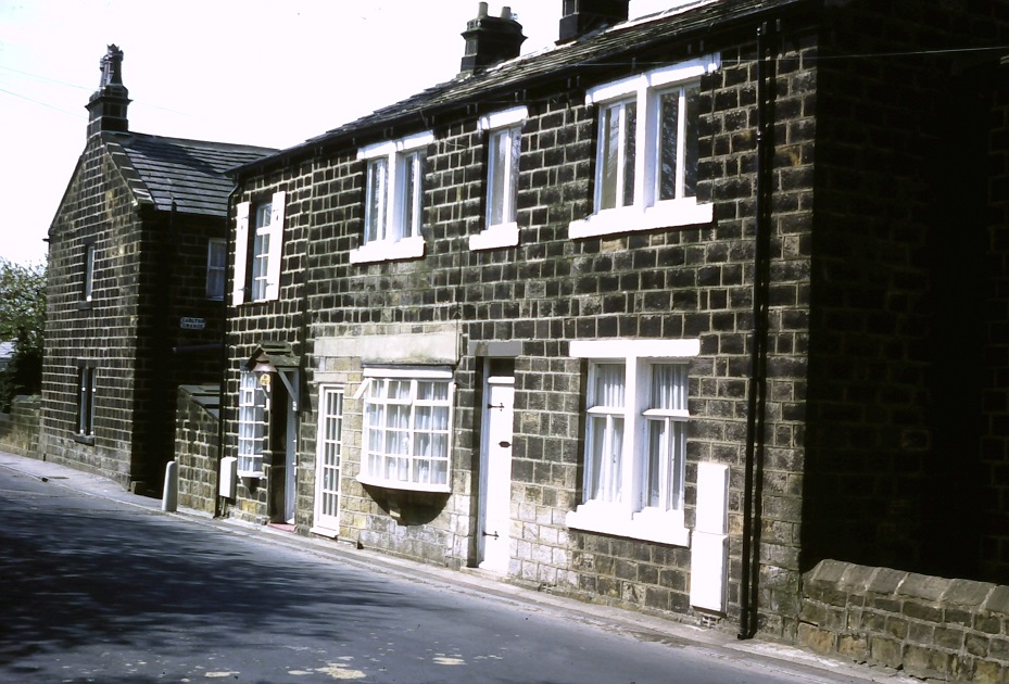
The “Wild Duck” public house which closed around 1900, was located here at number 7 Cemetery Road, which was the house with the bay window.
This window has been replaced since the photo was taken.
Donated by Howard German.
Editor’s Note: This was also a coffee bar in the 60s called the Lakeside Café where motorcyclists used to frequent. JB. 26 May 21.
Previous Comments:
Re V162
Hannah1
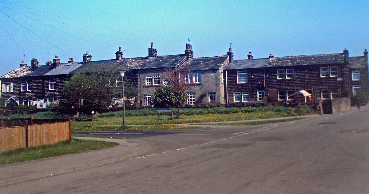
Top picture if you look on the extreme right you can just see the row attached to the New Inn, at one time this was called Worlds End, it extended from this row into like a horseshoe shape turned and the last two were these that faced onto Cemetery Road. If you look at the right hand side house you can see the taking in door which has been bricked up, these were used in weaving cottages or other commercial properties. Before the cemetery this road was called Carlton Lane as I found out when doing my family history.
04 April 2015.
Re T305
Robert Davey
The third chimney back, on the left hand side, is mostly likely on Number 1 Hudson Terrace, my Maternal Grandparents house. Opposite it, on the right hand side of Cemetery Road, can be seen a part of John E. Moore’s works.
16 March 2018.
Re N248
jean dean
The Off-Licence shop on the left hand side was built with the stone from the pub the ‘Pick and Hammer’ at Carlton, which was demolished in 1883, so this gives an idea of the date of the picture. I think that the pub got the name of ‘Pick and Hammer’ from the building of the railway tunnel at Bramhope, and it did become rather rowdy, and it closed after a few warnings.
17 March 2018.
Re R426/R427
tony Brayshaw
This house in the middle was a shop during the war years & was owned by Nancy Hargreaves which sold food & other household goods when she could get them from the suppliers!! her husband’s name was Fred Hargreaves & they had a son called Tommy who I understand became a Medical Consultant in London.
The little cottage on the left was where the Taylors lived Eric Taylor married Fred Browns daughter from the farm opposite the Yeadon cemetery.
Kind Regards Tony Brayshaw From Carlton Grange
28 June 2018.
Re R426
Peel175
Wasn’t the house shown with the bay window a café at some time?
10 August 2018.
