| Title | Moor Dam |
| Date | September 1901 |
| Location | Yeadon |
| Photo ID | E580 |
| Comment | Photographer E E Slater. |
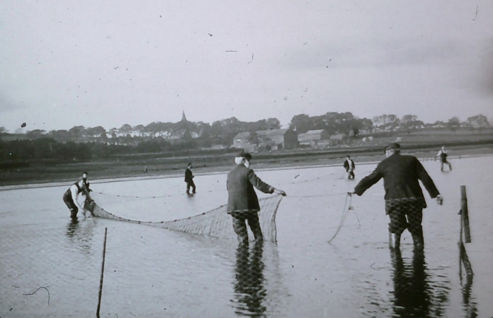
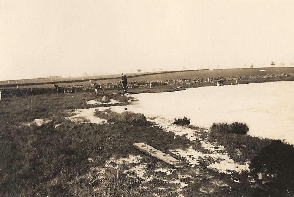
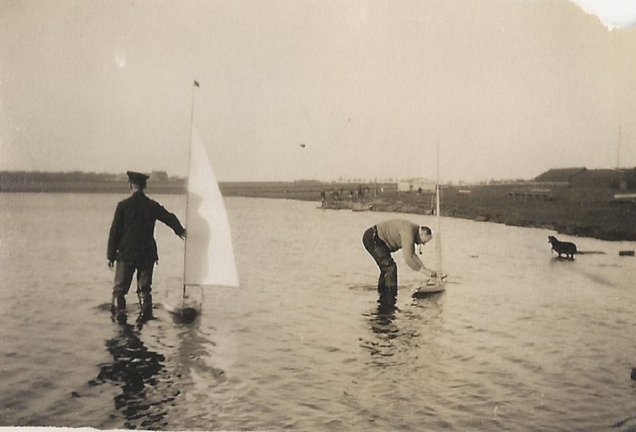
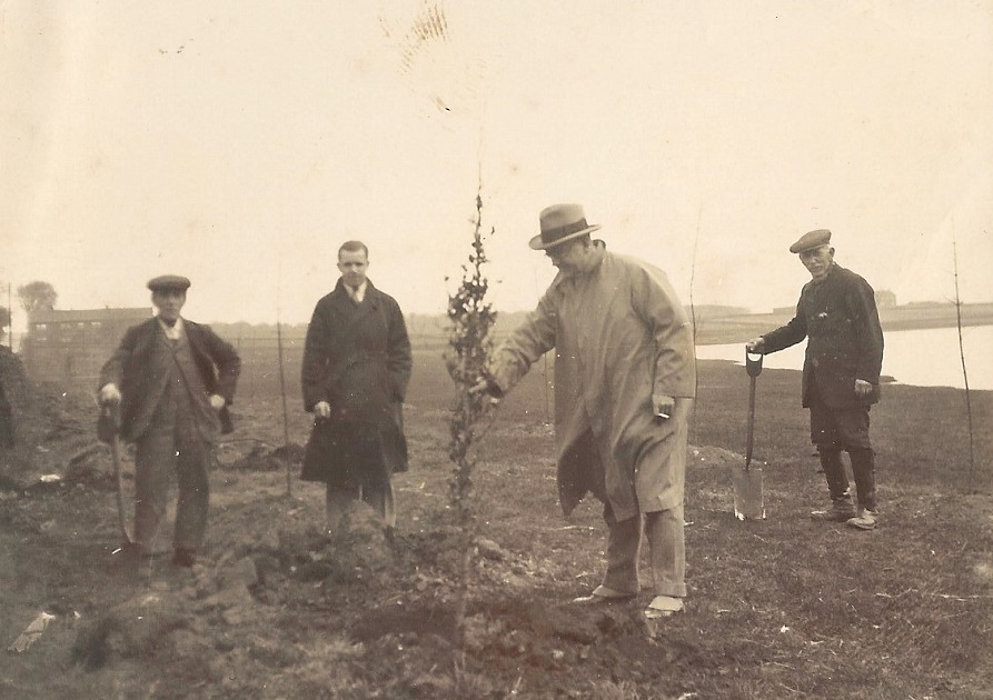
This image of men standing in the waters of Yeadon Dam handling some form of fishing net has for some years been logged on our website as being taken in 1944. The information we had was – “Men with large drag nets catching fish in the tarn prior to it being drained. The photo is undated but this is perhaps around the time of the 2nd World War”?
It was believed that the men were trying to catch the fish so that the dam could be drained and thereby not be a visible landmark for the German bombers to pinpoint the AVRO aeroplane construction buildings.
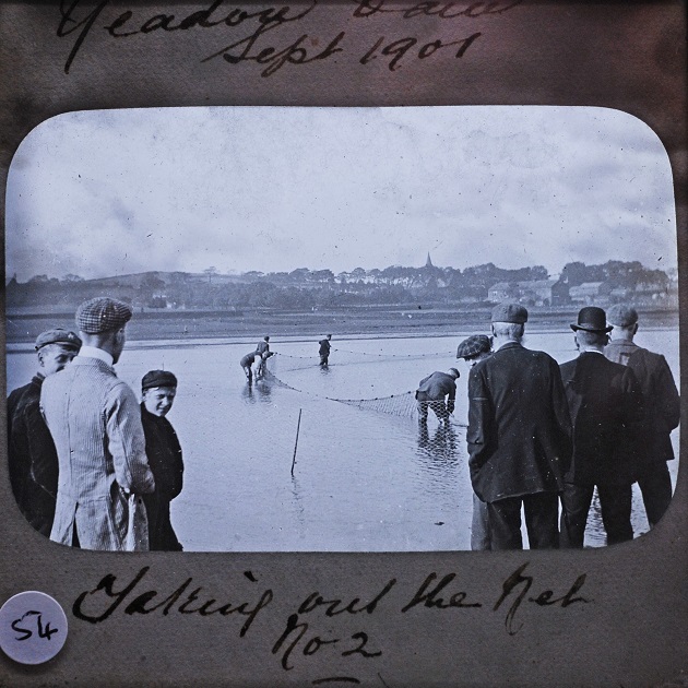
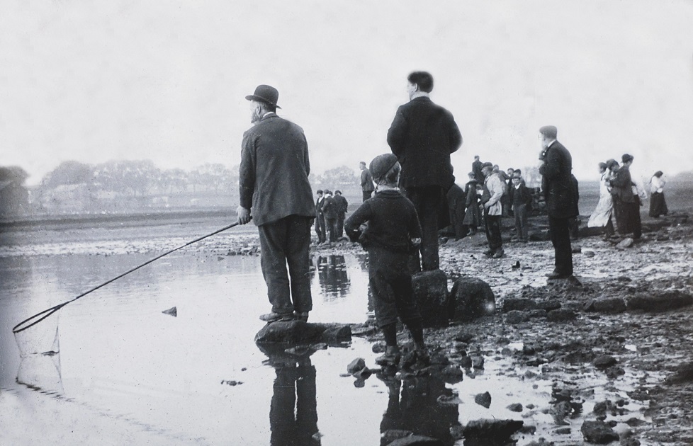
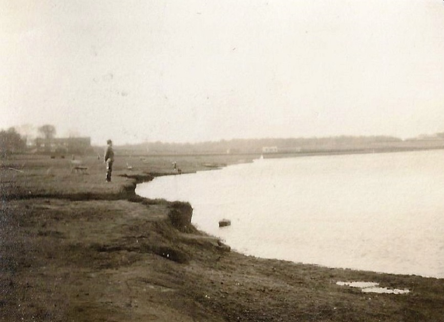
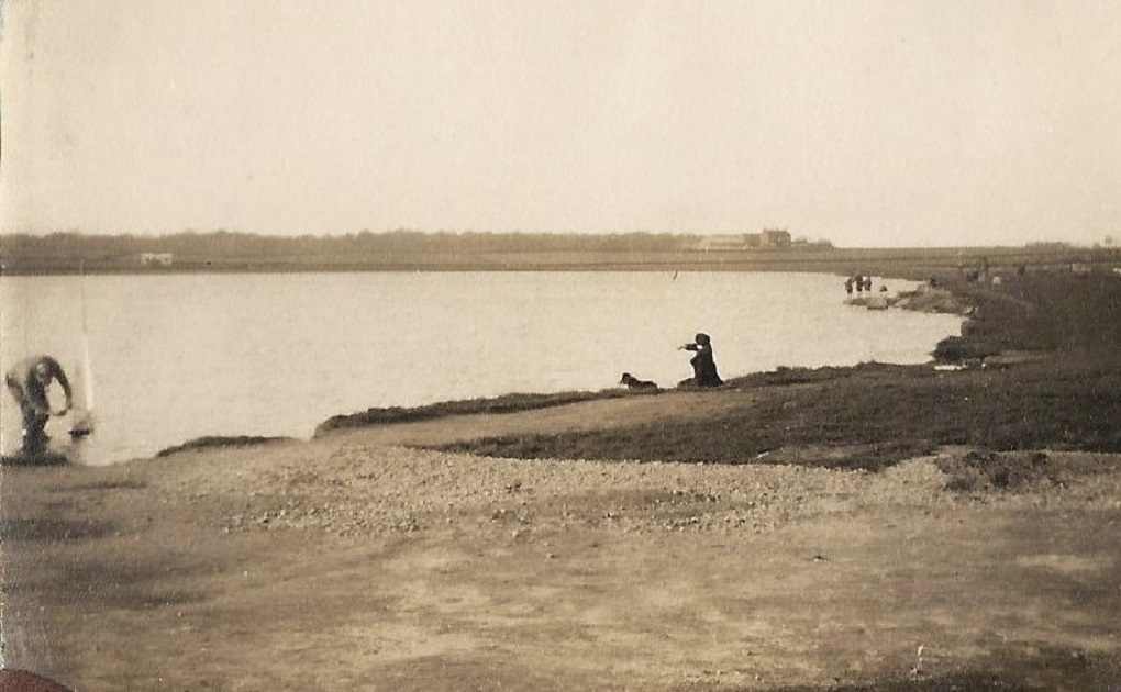
However, another two photographs taken on the same occasion by the celebrated Yeadon photographer E E Slater was recently discovered within the AHS archives and is dated as being taken in September 1901. This new images are seen below, photo ID: E580A & E580B.
Alfred Taylor wrote in the Yorkshire Evening Post 12 Sep 1961.
“The dam is only about seven deep at its deepest point. In 1901, after a drought, it went dry. It was empty on November 11 that year and workmen started cleaning out the bottom. But the drought broke suddenly and the following day there was two feet of water in the dam. By the same weekend the surface was frozen, and skaters came from far and wide.”
In the photos the water level looks very low, it is thought they were netting the fish to remove them from the dam.
The mystery of the nets is finaly solved with the find of these additional images and groundwork by Philip Archdale.
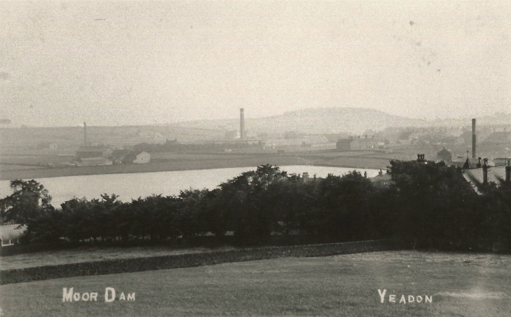
Yeadon Dam – c1900s
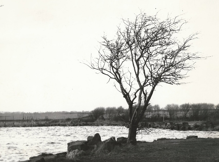
View of what was then called ‘Moor Dam’ from Cemetery Road, now referred to as Yeadon Tarn but still called ‘Yeadon Dam’ by many Yeadon people.
It has also been referred to as a lake and or Lido! During the 1960s there was on Cemetery Road which runs adjacent to the dam, a Café named ‘Lakeside Café’ where I frequented during my motorcycling teens.
Personally, I like my Great Granddad William Brayshaw, my Granddad Granville Brayshaw and my father Jack Brayshaw, all called it Yeadon Dam and so hence its title on these pages. It also makes it easier for me whilst consolidating all the AHS files onto our new website! But please, call it what you prefer as it will not change this beautiful place!
Jack Brayshaw. 15 July 2021.
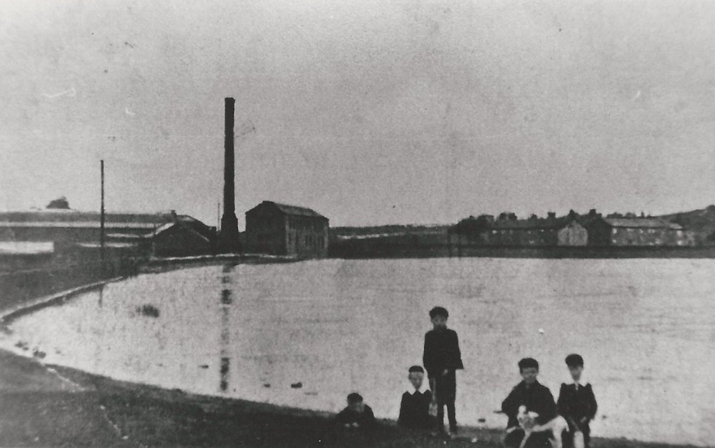
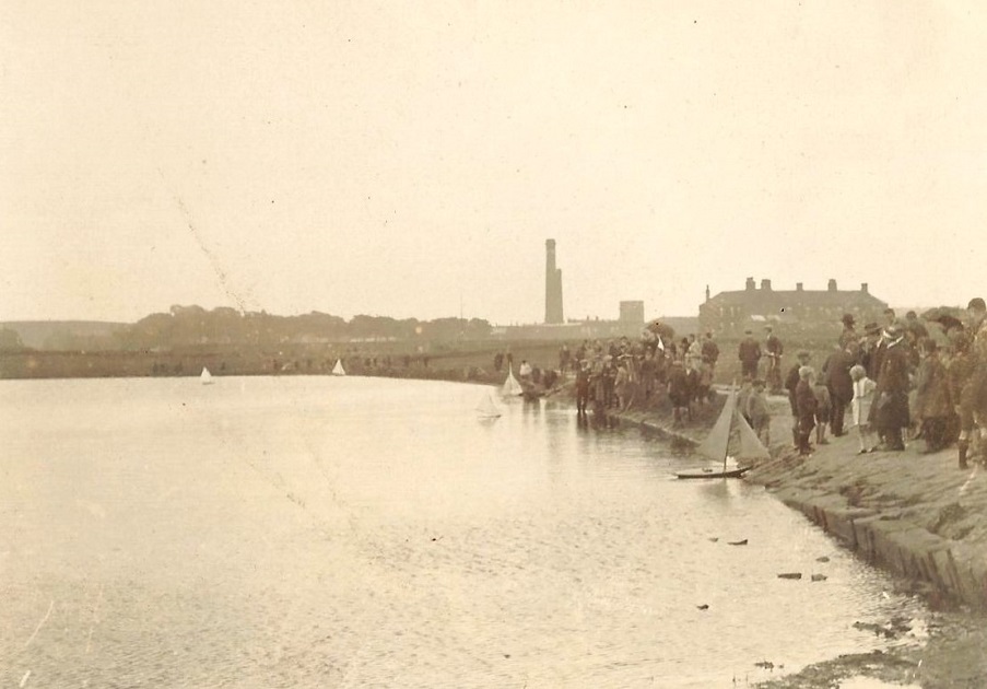
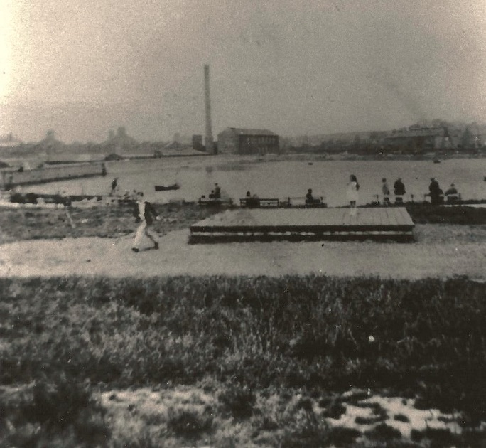
Yeadon Dam – c1900s
View across Yeadon Dam, on the left is Crompton Mill (also called Waterside Mill) which burned down in the 1950s.
The stone building to the right of the chimney remains and is called Ingots Building, it is offices for the Headrow Housing Group.
Cemetery Road runs along the Centre of the view behind the perimeter wall of the dam. To the right of Centre the row of cottages with the gable end is Carlton Grange, the cottages to the right edge are on Cemetery Road.
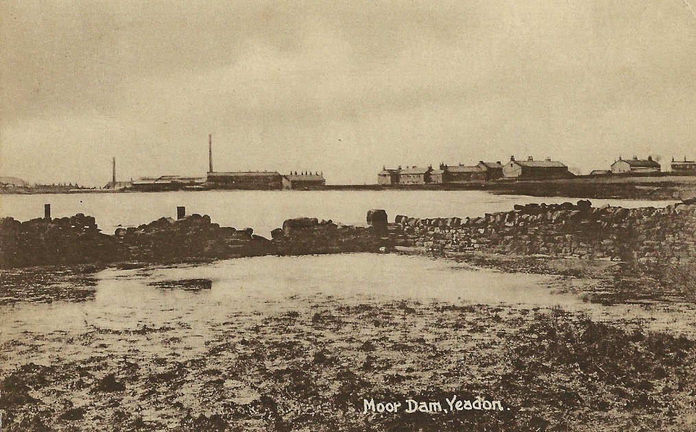
Yeadon Dam – c1912
21st September 1912 – View looking across the Moor Dam, Moorfield Mill is just visible on the right.
Editor’s Note: This photograph was titled ‘Moor Dam’ by the unnamed photographer in 1912. Subsequently, ‘Moor Dam’ became known locally as ‘Yeadon Dam’, however, it has also been known as ‘Yeadon Tarn’ and many a debate as to its correct title still goes on to this day.
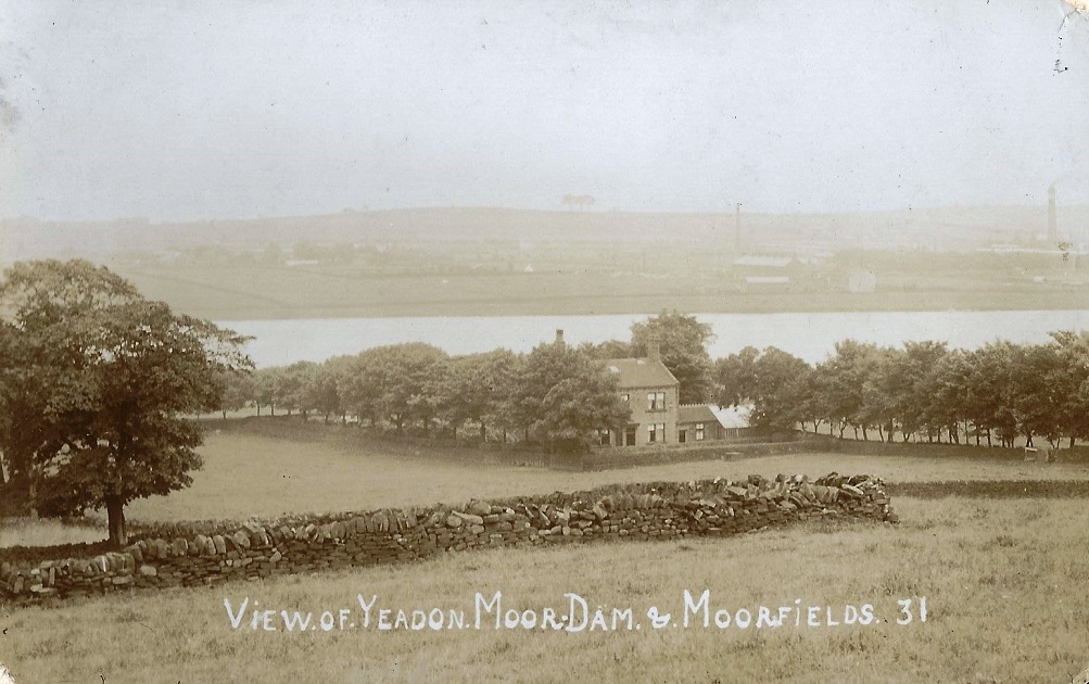
Yeadon Dam – 1919
A view of the Dam (here called the Moor Dam) which was on a postcard. The message reads: “Dear Alice,pleased you are having nice weather, it is nice here just at present. I am spending a few days here, it’s a beautiful spot, such beautiful scenery. In fact everything is beautiful, it will be when F (?) A comes ? again. Love ?”
It was sent to Miss A Blaymires at an address in Bridlington.
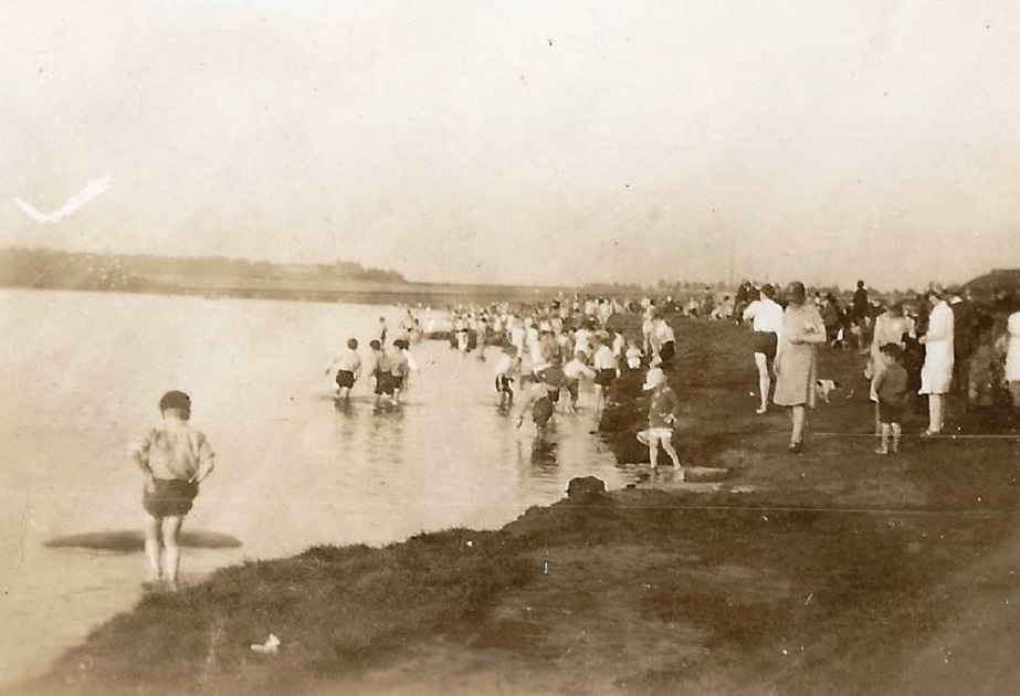
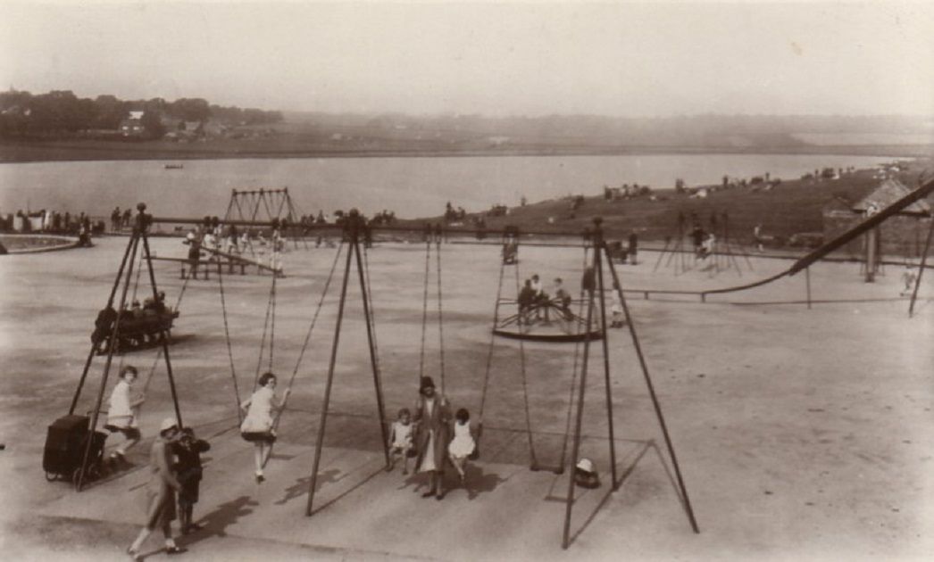
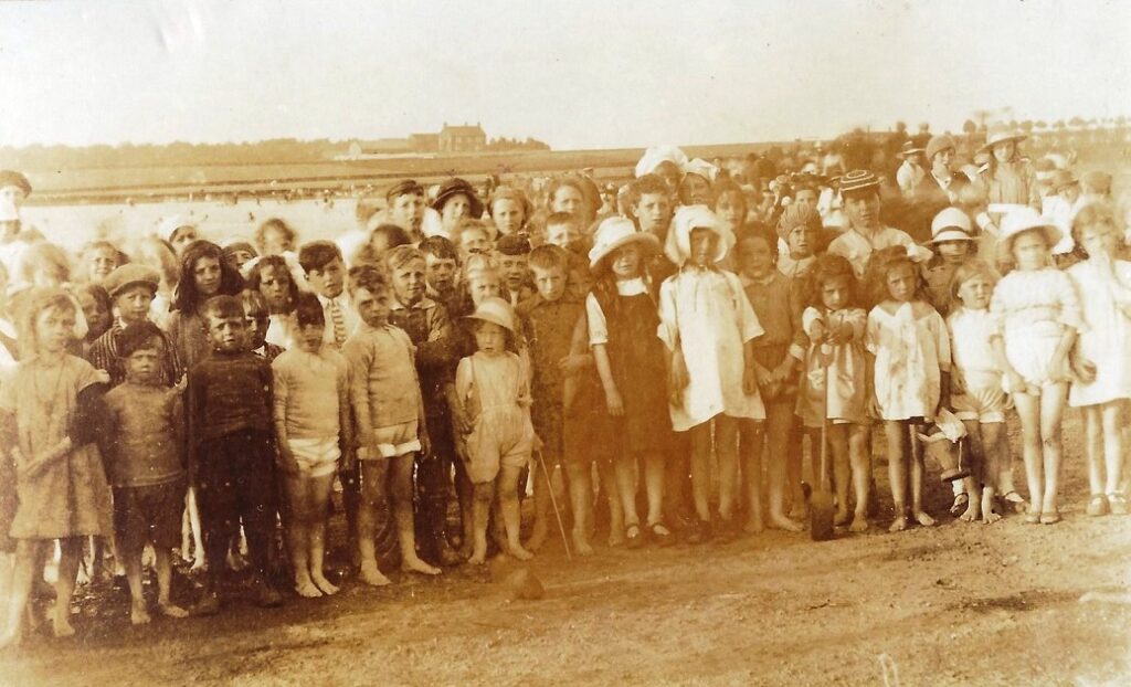
Yeadon Dam – 1920s
The Dam in it’s original state before remedial work was carried out to prevent erosion of the banks. Rocks were placed around the perimeter to provide a permanent edge. An esplanade was built and a slipway for boats. Many improvements have taken place, conservation of wildlife and plant life was undertaken, children are no longer allowed to paddle in the water as they are doing in this photo!
Previous Comments:
Re C280
Hannah1
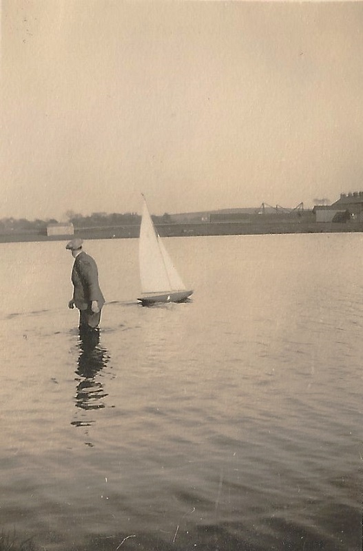
The picture with the man in waders is taken with Rawdon Billing in the background, you can just see three trees top right hand side, they were called the ‘three sisters’ now no longer there. They were taken down supposed to be diseased, not in the way of the planes as we all thought.
14 September 2014.
Re C280
teleg
The Hill in the background is ‘Plane Tree Hill’ with the three Plane trees but Rawdon Billing is much further over to the right and not shown in this photo Hannah 1.
17 September 2014.
Re C280
Editor.
To view the ‘Three Sisters’ as commented – Click Here or visit pages on ‘Plane Tree Hill/Bayton Lane’ on this site.
Page 1 of 8 More >>
Consolidated by Jack Brayshaw. 15 July 2021.
Last updated: 02 October 2023 – E580A. 27 September 2023 – Photo ID: F442. 5 December 2022 – All images updated.
