| Title | Starkeys Field |
| Date | Undated |
| Location | Yeadon |
| Photo ID | PU090A |
| Comment | Starkey’s Field with stone terrace streets and houses, Yeadon Town Hall can be seen on the left. When these homes were demolished the site was used for the building of Morrison’s store and car park which opened in February 1970. Donated by Barbara Winfield. |
PU090B – Starkeys Field, Undated.
Starkeys Field – Undated
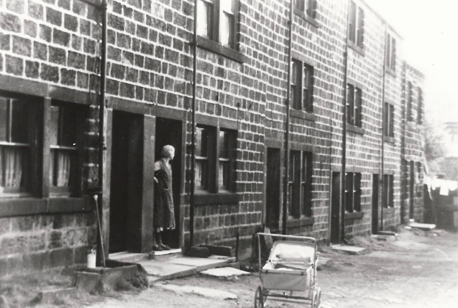
G040 – Starkeys Fold, 1955.
Starkeys Fold – 1955
A row of old houses which were to be demolished under a slum clearance scheme.
Morrisons supermarket car park is on the site.
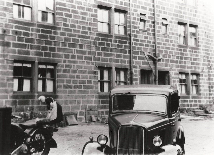
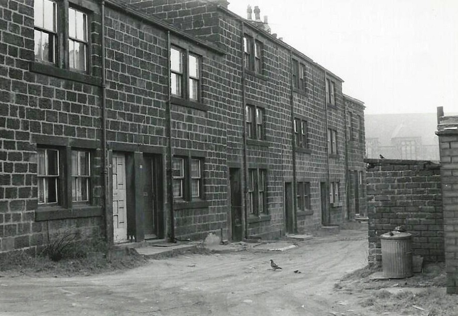
G041 – Starkeys Fold, 1955.
Starkeys Fold – 1955
Built in the 1800s to provide homes for workers, they were demolished in 1966 along with adjacent properties to provide a site for a supermarket development.
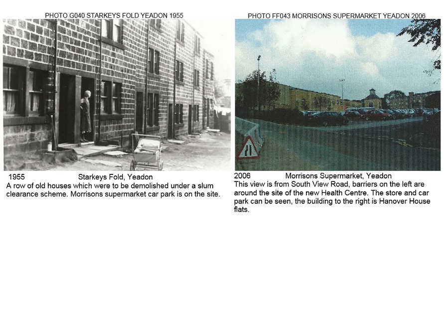
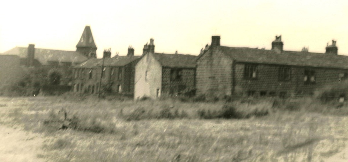
R287 – Starkeys Fold, 1955/2006.
Starkeys Fold – 1955/2006
The photo on the left shows a row of old stone terrace houses, they were deemed unfit for occupation and demolished under a slum clearance act.
It is sad to think that now these properties would be renovated and be very desirable and expensive homes.
The site is now part of Morrison’s car park. The photo on the right looks from South View Road across to the supermarket car park and store, on the left.
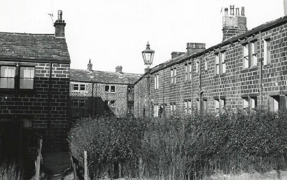
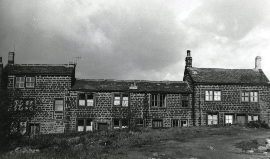
I270 – Starkeys Field, 1964.
Starkeys Field – 1964
Various images of the area known as Starkeys Field (Fold), this area is now the site of Morrison’s store and car park (February 2017).
Starkeys Field looking towards the High Street.
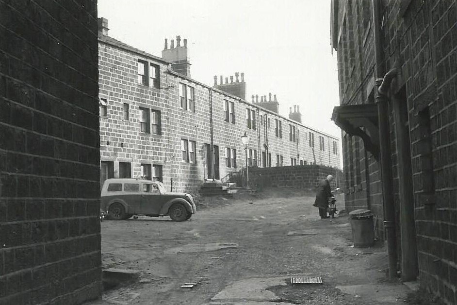
I271 – Starkeys Field, 1964.
Starkeys Field – 1964
Starkey’s Field seen from the High Street.
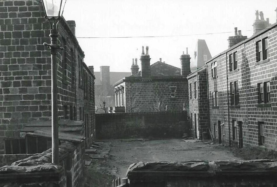
I272 – Starkeys Field, 1964.
Starkeys Field – 1964
Starkeys Field looking in the direction of the Town Hall.
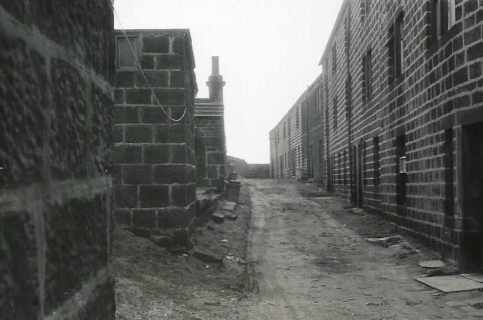
I273 – Starkeys Field, 1964.
Starkeys Field – 1964
This image shows the back walls of properties on Starkey’s Field seen from the High Street.
I274 – Starkeys Field, 1964.
Starkeys Field – 1964
View of some houses on Starkeys Field, in the centre Cliffe House can be seen with the Town Hall behind it.
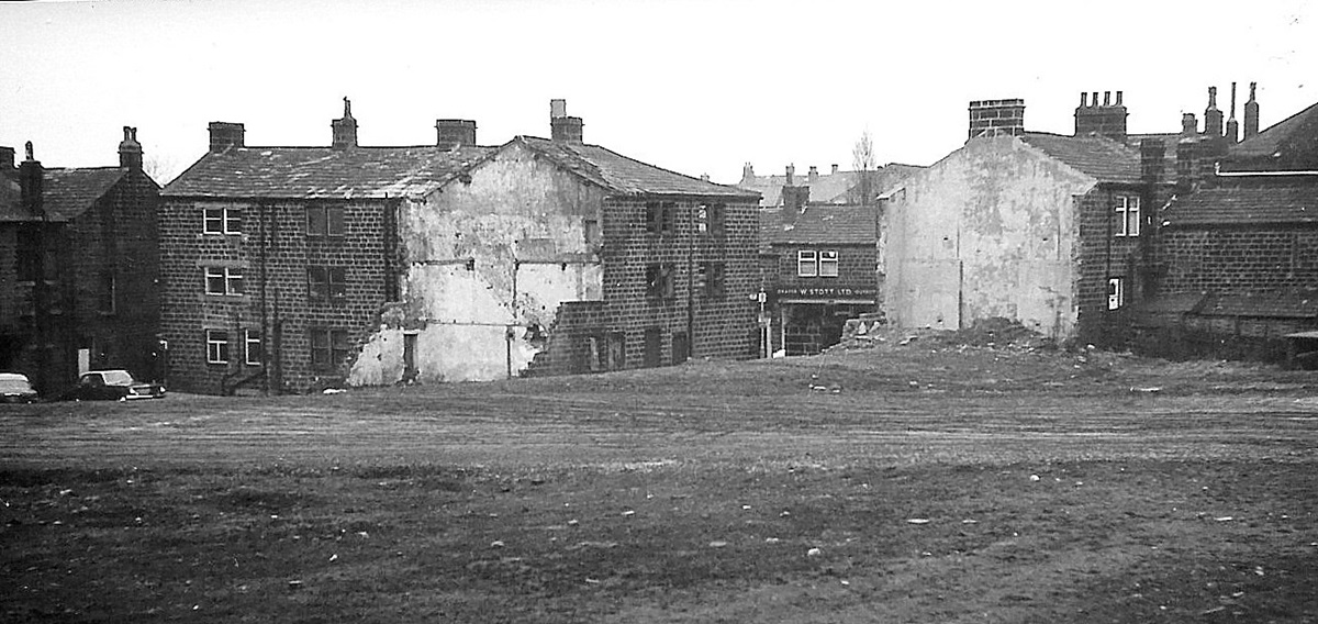
U575 – Starkeys Field, 1960s.
Starkeys Field – 1960s
Looking across cleared ground where properties on Starkey’s Field have been demolished, Morrison’s store and car park would be built partly on this land, the store opened in 1970. The gap in the buildings looks onto the High Street where W Stott’s Draper & Outfitter business can be seen.
Previous Comments:
Re PU090B
teleg
We used to know this as Eddie Dennison’s field in the 30s, and all the local school fights took place after school here. It was variously known as Starkeys field as it was at the back of Starkeys Fold. We played various sports here and in 1939 Air raid shelters were dug at the bottom edge of this field which of course is now Morrison’s car park.
06 April 2018.
Consolidated by Jack Brayshaw. 23 September 2021.
Last updated: 26 December 2023 – Photo ID: U575. 08 January 2023 – All images updated.