| Title | Otley Road |
| Date | 2006/2010 |
| Location | Guiseley |
| Photo ID | C870 |
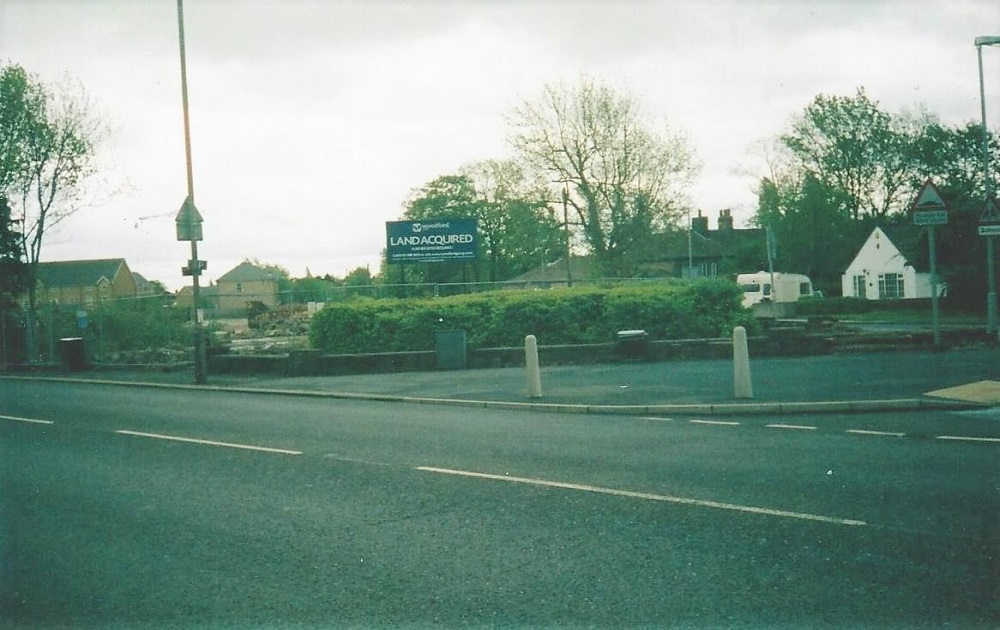
| Comment | The junction of Otley Road and Back Lane, seen in 2006 before the skin treatment centre was built then below, in 2010 when the clinic had opened. |
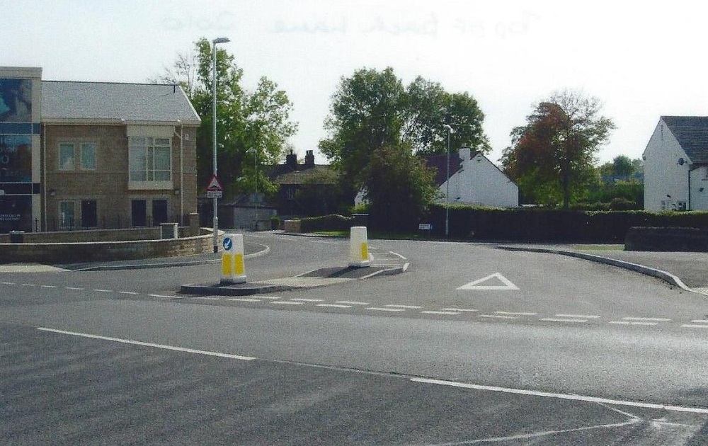
C870A – Otley Road, 2006/2010.
Otley Road – 2006/2010
As above.
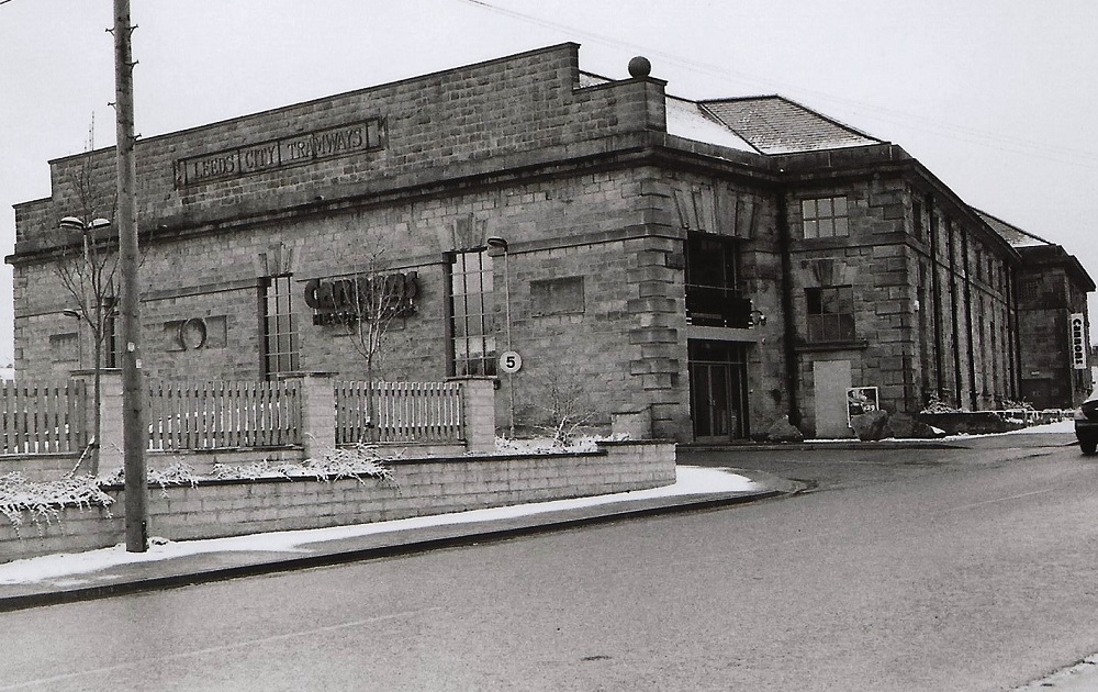
FB111 – Otley Road, 2006.
Otley Road – 2006
The former Leeds City Tramways depot on Otley Road (A65), just before White Cross. The first trams reached Guiseley on 31st June 1909 terminating at Oxford Circus, the track was then laid to White Cross.
The tram shed is now converted into apartments and a gym (April 2013).
Photographer Joanne Coultas.
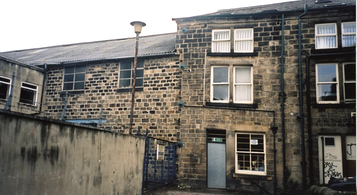
PU211 – Otley Road, 2007.
Otley Road – 2007
Rear view of Chippindale’s shoe shop at 54 Otley Road. To the left is Springfield Works housing Fred Gibson’s wax business.
The photo was taken before new apartments were built on the Works site.
Donated by Jane Blake.
K249 – Otley Road, 2007.
Otley Road – 2007
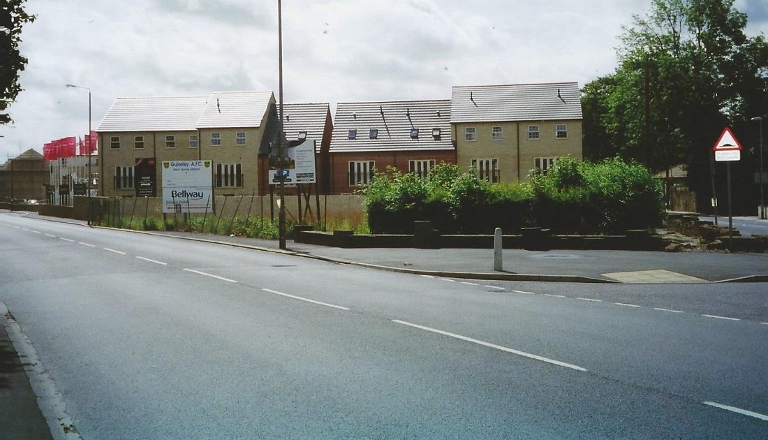
To the right of Otley Road (A65) is new housing on what was the site of Wilson’s Silver Cross pram works. Back Lane is on the right.
K401 – Otley Road, 2008.
Otley Road – 2008
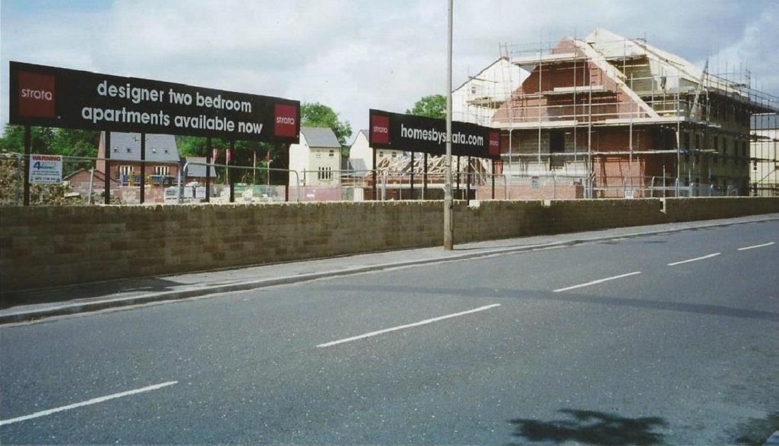
New homes under construction on what was the site of Lawrence Wilson’s Silver Cross pram works on Otley Road.
T354 – Otley Road, 2009.
Otley Road – 2009
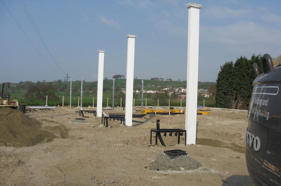
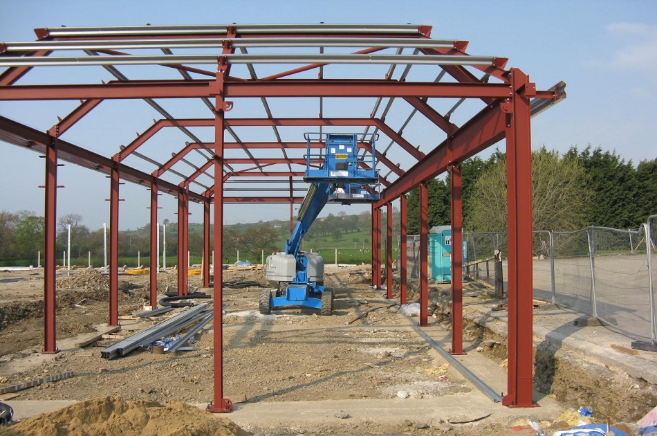
Two images of the Construction of the BP petrol station and Spar shop on Otley Road, adjacent to the Wetherby Whaler, formerly Harry Ramsdens.
Photographer Charles North.
T355 – Otley Road, 2009.
Otley Road – 2009
As above.
FB418 – Otley Road, 2013.
Otley Road – 2013
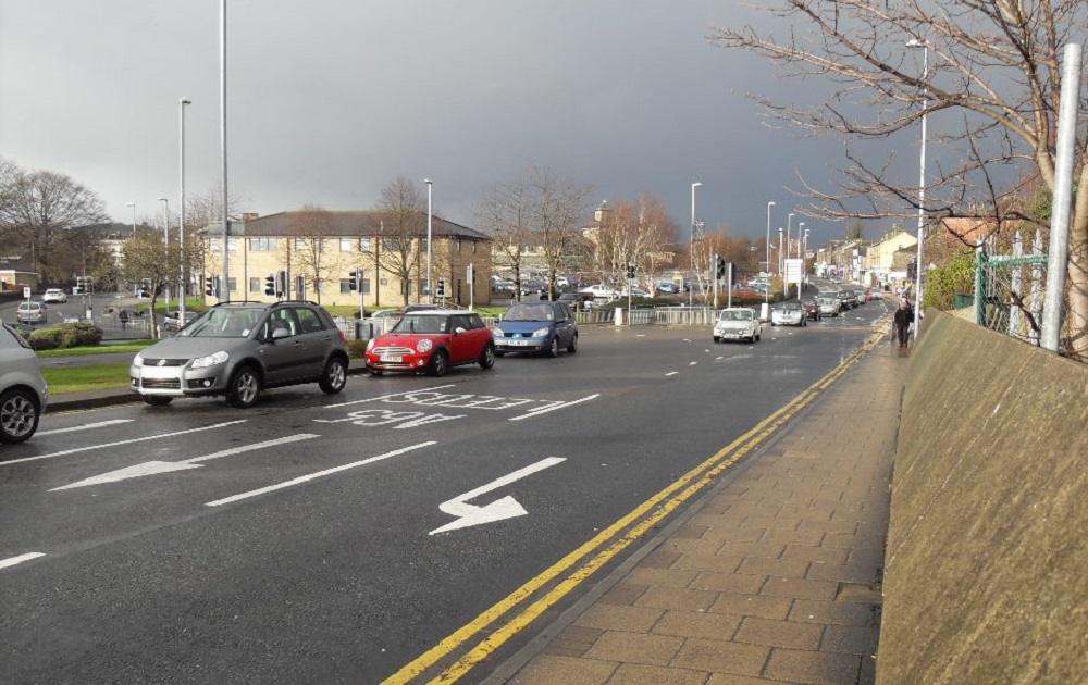
Otley Road (A65). On the left is the gyratory system at the end of Park Road. Morrison’s store and car park are in the centre of the view.
Donated by Brian Triffitt.
FB441 – Otley Road, 2013.
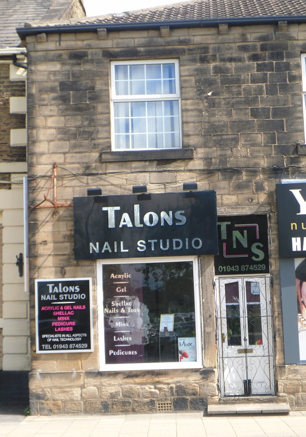
Otley Road – 2013
On the left is the Regent Hotel, Talons Nail Studio was for many years a ladies underwear shop.
Donated by Joanne Coultas.
FBA159 – Otley Road, 2013.
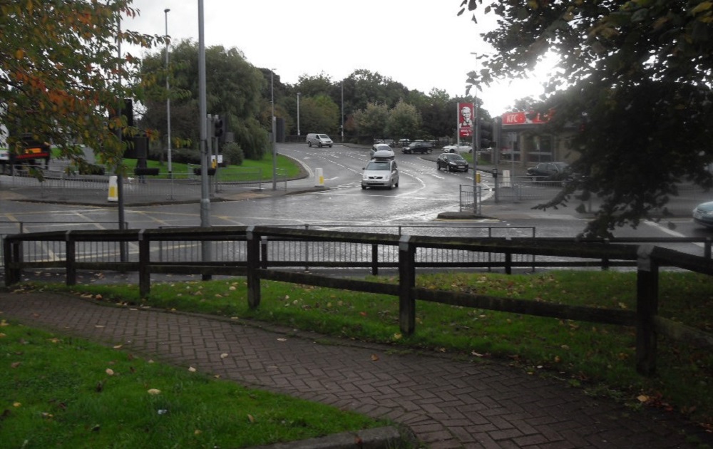
Otley Road – 2013
This section of Otley Road (A65) forms part of the gyratory system at Greenbottom.
In the foreground is a path which leads to Morrisons store car park and a Medical Centre.
On the left is a large roundabout, the KFC food outlet is on the Guiseley Retail Park, the junction with Park Road is on the right.
Donated by Brian Triffitt.
FBA163 – Otley Road, 2013.
Otley Road – 2013
On the left is new housing (Silver Cross Way) built on the site of Lawrence Wilson & Sons Silver Cross pram works.
Morton Terrace is on the right with the “Full Monty” food outlet at the junction with Otley Road.
Donated by Brian Triffitt.
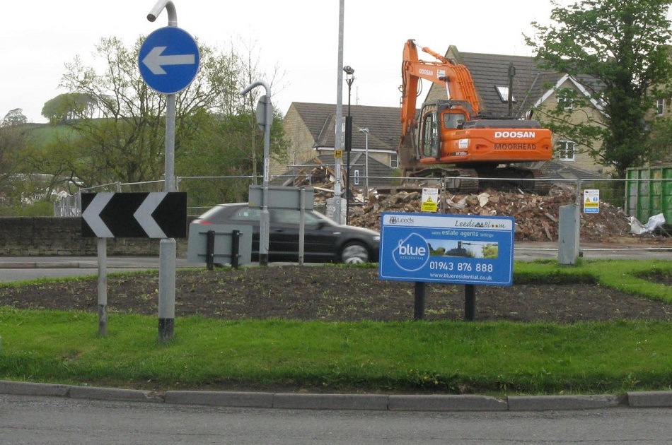
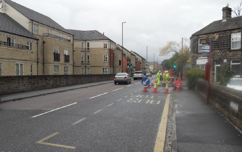
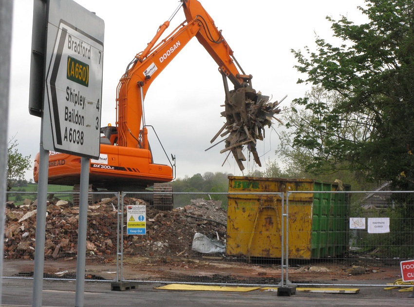
T371 – Otley Road, 2013.
Otley Road – 2013
Three images of the demolition of the Damn Yankee restaurant.
View looking across the roundabout on Otley Road, White Cross.
Photographer Charles North.
T372 – Otley Road, 2013.
Otley Road – 2013
As above.
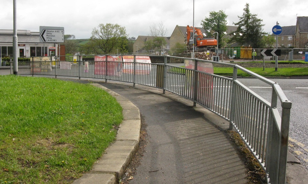
T373 – Otley Road, 2013.
Otley Road – 2013
Seen from the bottom of Thorpe Lane, the Wetherby Whaler is on the left, the demolition site is to the right.