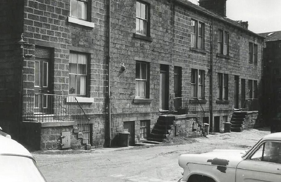
K432 – Springfield View, 1966.
Springfield View – 1966
Back view of stone terrace houses with exterior steps. Also doorways leading to basement areas.
Photographer James Farrar, donated by his son David.
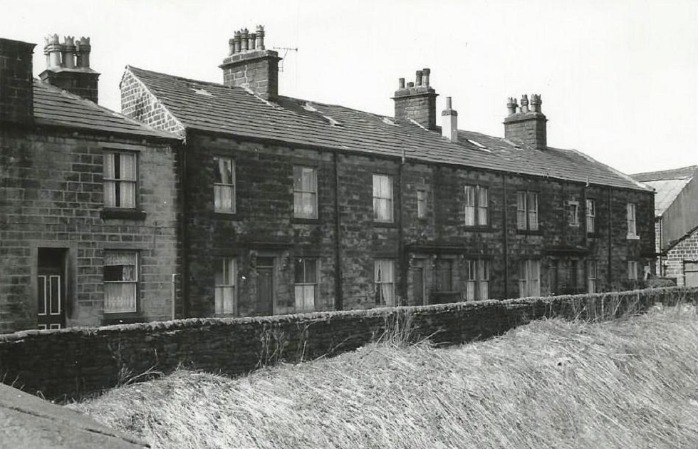
K433 – Springfield View, 1966.
Springfield View – 1966
Front view of the houses, in the foreground is the railway embankment and railway line.
Photographer James Farrar, donated by his son David.
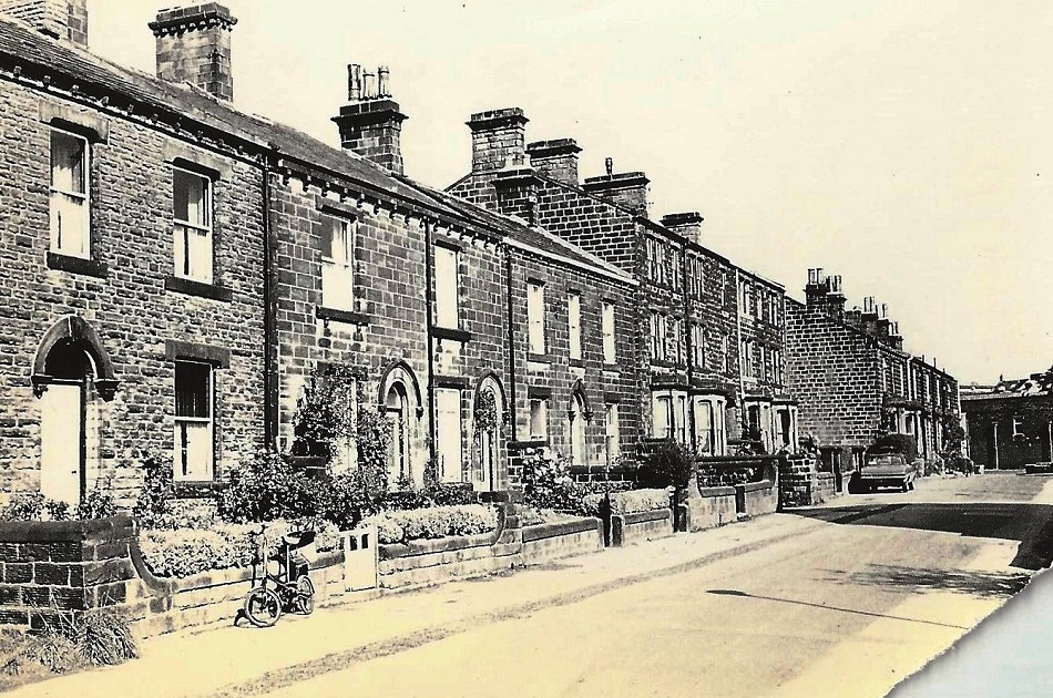
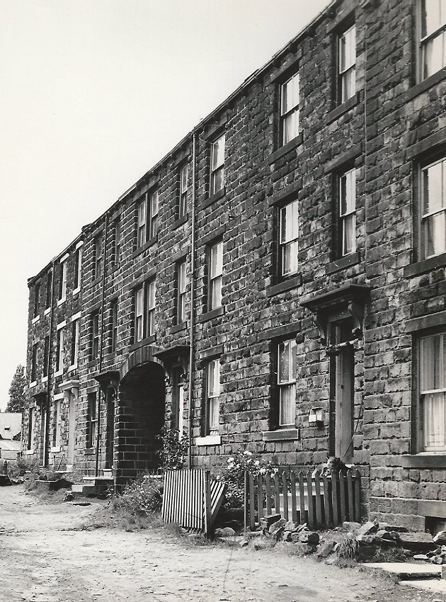
A240 – Springfield Place, 1970.
Springfield Place – 1970
Situated off Springfield Road, this view shows that Springfield Place was not built in uniform style. The first 7 houses are 3 storey, with an arched entry between 3 & 4. The row continues to the right with 2 storey houses, the one on the right edge is possibly of a later date or has been altered. The stone wall blocks are more even, the upper wall has been rendered with concrete, the windows are stained glass, a wooden porch structure has been added and fencing erected to mark the boundary.
X169 – Springfield Place, 1970.
Springfield Place – 1970
Springfield Place -1970
A240 – Springfield Place, 1970.
Springfield Place – 1970
Situated off Springfield Road, this view shows that Springfield Place was not built in uniform style. The first 7 houses are 3 storey, with an arched entry between 3 & 4. The row continues to the right with 2 storey houses, the one on the right edge is possibly of a later date or has been altered. The stone wall blocks are more even, the upper wall has been rendered with concrete, the windows are stained glass, a wooden porch structure has been added and fencing erected to mark the boundary.
A239 – Springfield Place, 1970.
Springfield Place – 1970
Springfield Place -1970
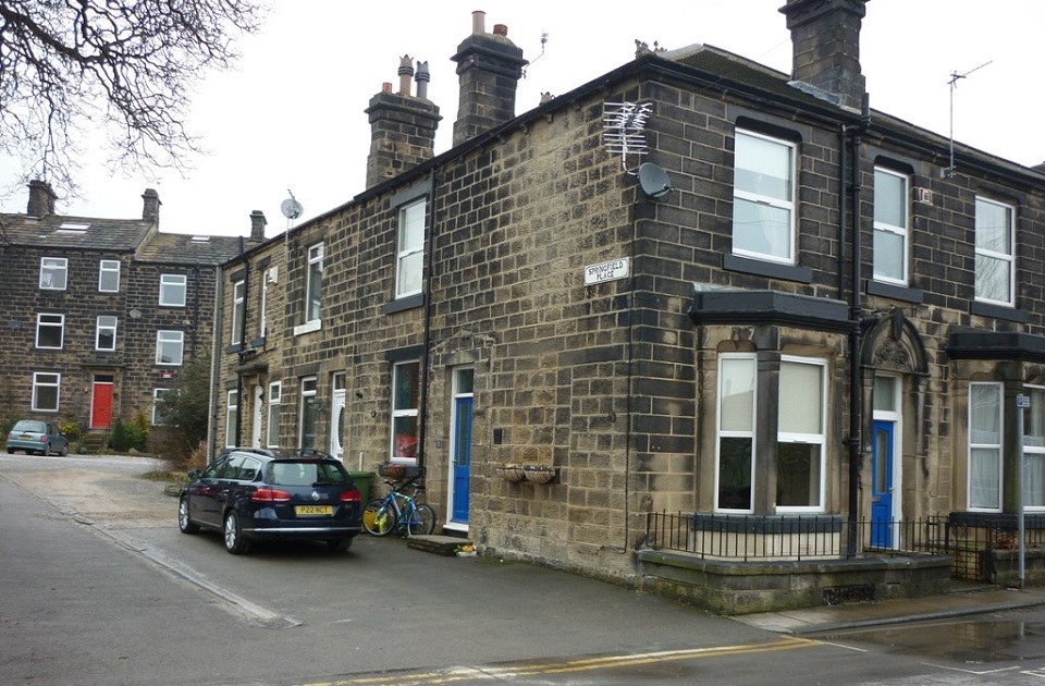
K192 – Springfield Place, 2015.
Springfield Place – 2015
Views of Springfield Place which is located off Springfield Road.
Photographer Edwy Harling.

K193 – Springfield Place, 1970.
Springfield Place – 1970
Springfield Place -1970
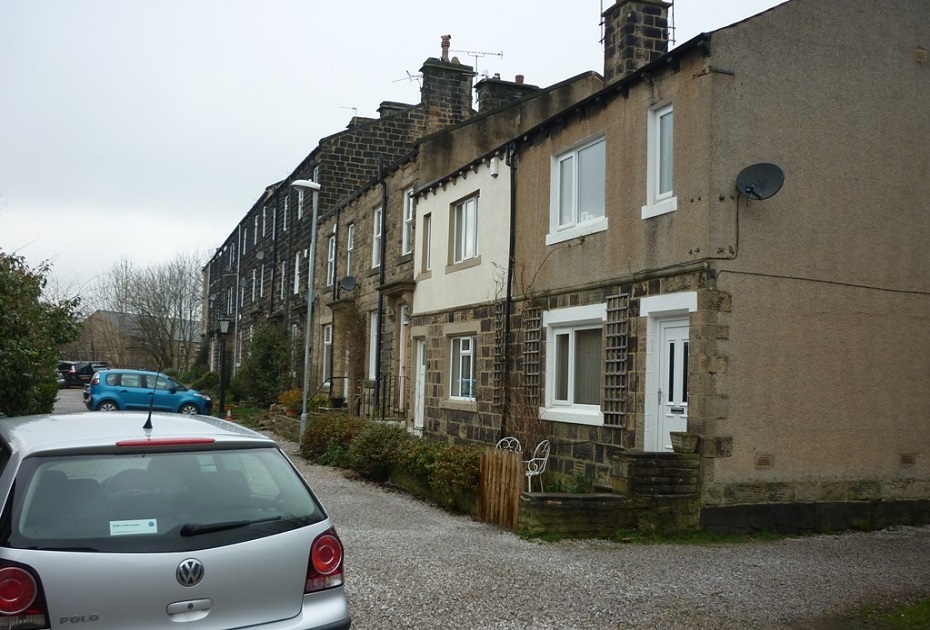
K194 – Springfield Place, 2015.
Springfield Place – 2015
Views of Springfield Place which is located off Springfield Road.
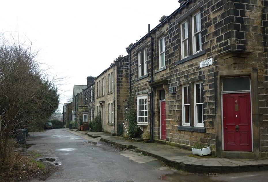
K201 – Springfield Terrace, 2015.
Springfield Terrace – 2015
Photographer Edwy Harling.
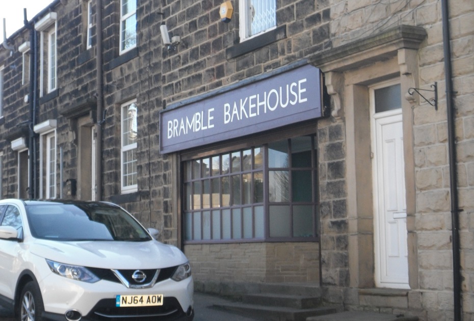
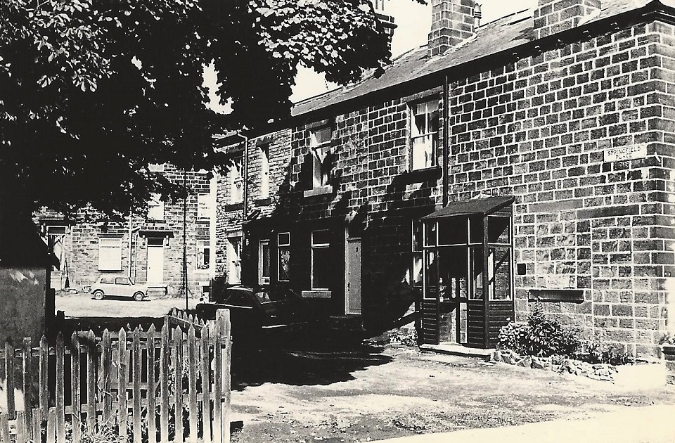
U249 – Springfield Road, 2016.
Springfield Road – 2016
This shop was Bolton’s Jewellers for a long time, now the “Bramble Bakehouse” café.
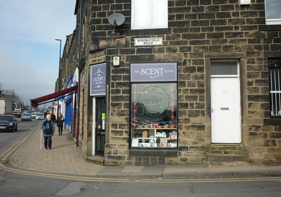
V158 – Springfield Road, 2016.
Springfield Road – 2016
A new shop “The Scent Room” at the corner of Springfield Road and Otley Road.
Photographer Edwy Harling.
Previous Comments:
Re V158
Geoff1944
Expanding image immediately to the left of the Springfield Road sign reveals “Springfield Place” carved into lintel above shop doorway. This indicates that where Springfield Place in now, to the east of the railway, was formerly a development leading from the turnpike (Otley Road) and was relocated after the railway cutting was driven through.
06 January 2019.
Consolidated by Elaine Ellwood. 20 March 2022.
Last updated: 29 March 2022.