| Title | Tennyson Street |
| Date | c1950s |
| Location | Guiseley |
| Photo ID | I848 |
| Comment | These photos have been donated by Pat Day with her comments: |
Looking right at the attached neighbours front door (white No: 11), the black door is at the side of No: 13.
I848A – Tennyson Styreet, c1950s.
Tennyson Street – c1950s
Prefabs (MAP- Ministry of Aircraft Production homes) on Tennyson Street, Nunroyd.
I848B – Tennyson Styreet, c1950s.
Tennyson Street – c1950s
To the left of the photo is the side of No: 7 and our front door No: 9.
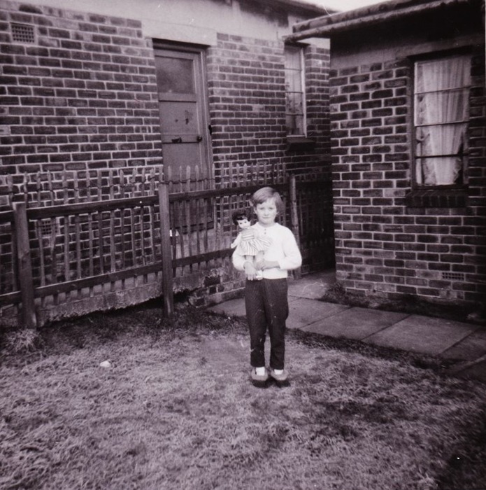
I848C – Tennyson Styreet, c1950s.
Tennyson Street – c1950s
The back or side door of No: 9.
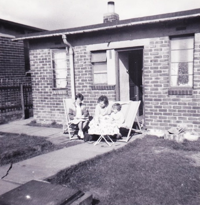
I848D – Tennyson Styreet, c1950s.
Tennyson Street – c1950s
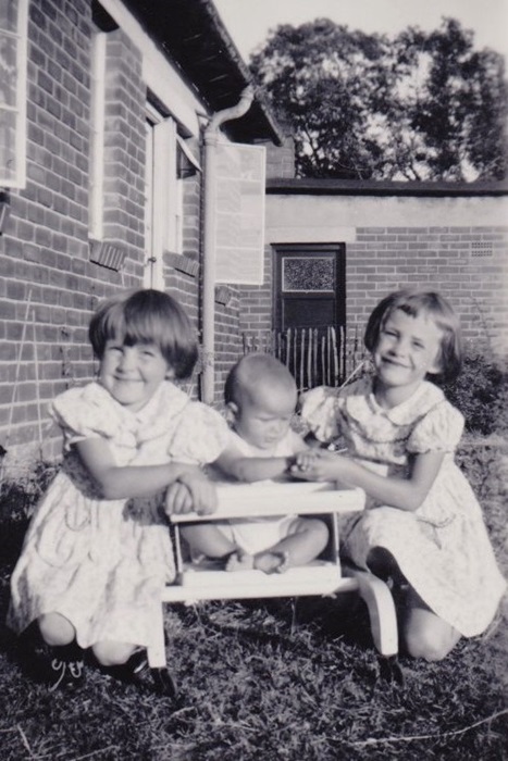
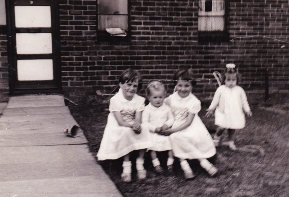
We are sitting on the stone/metal manhole cover which stood proud in the front garden, it was a great base for all kinds of activities.
I848E – Tennyson Styreet, c1950s.
Tennyson Street – c1950s
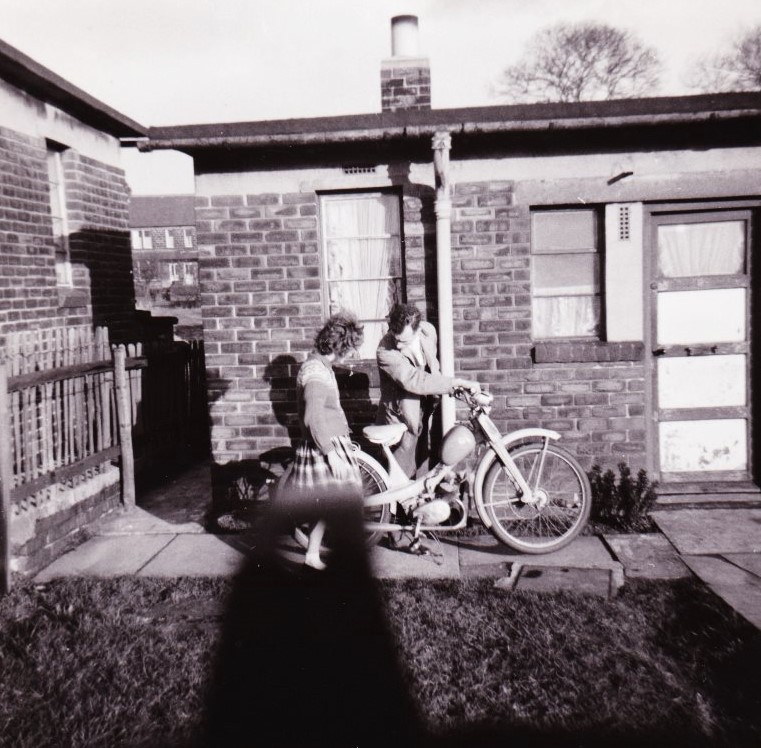
Looking between the houses are properties on Leeds Road, not in view but between us was a huge dip with trees and a stream where we spent many happy hours playing.
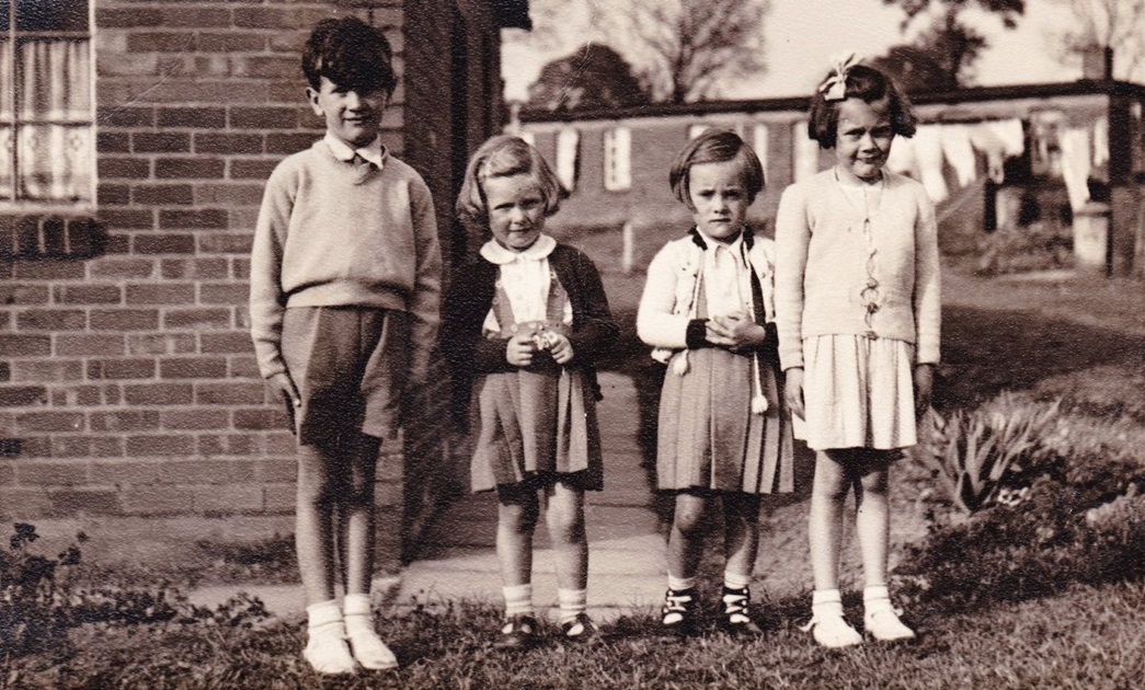
The Powell family lived at No: 7, Days at No: 9, Smiths at No: 11, and Metcalfes at No: 13.
Consolidated by J Brayshaw. 20 November 2023
Last Updated: 20 November 2023.