| Title | New Road Side |
| Date | 1912 |
| Location | Yeadon |
| Photo ID | D166 |
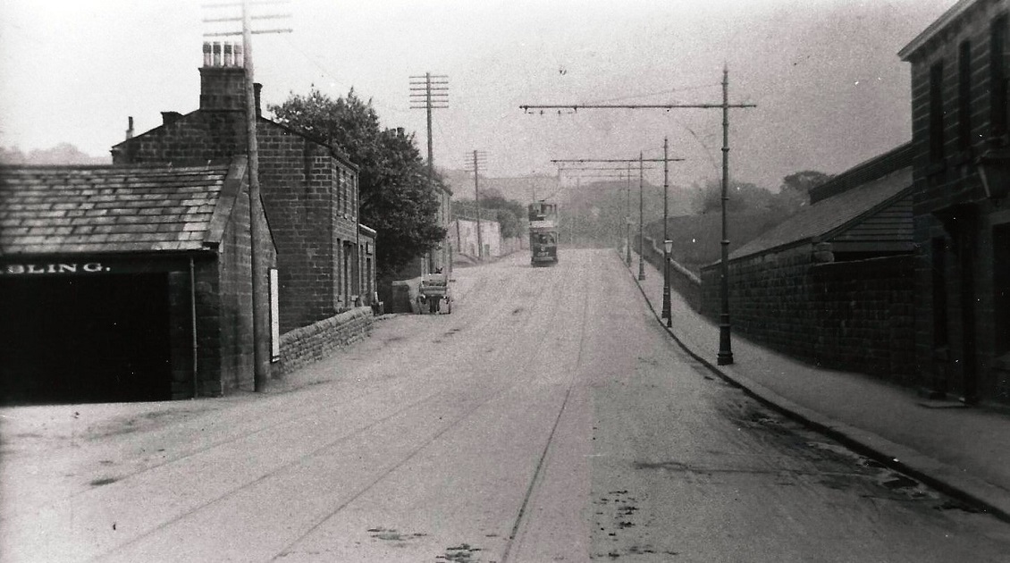
| Comment | New Road Side (A65), looking in the direction of Rawdon, on the left but not in view is the Woolpack Inn, the partial sign is advertising stabling for horses at the Woolpack. The junction with Henshaw Lane is opposite the tram. On the right beyond the wall is the Yeadon and Guiseley Gas Company. |
C039 – New Road Side, c1912.
New Road Side – c1912
Section of New Road (Side) after 1909 when tram lines had been laid as far as Guiseley.
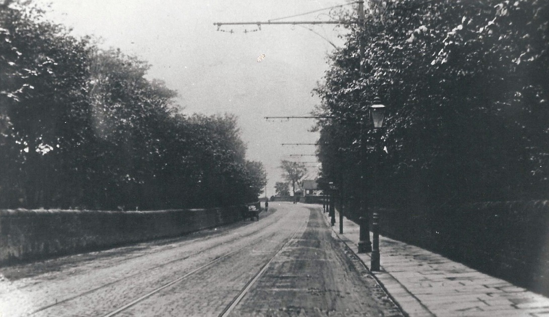
D162 – New Road Side, Undated.
New Road Side – Undated
View looking up New Road Side (A65) in the direction of Guiseley.
Yeadon and Guiseley gasworks is on the left (not in view).
On the right is the Woolpack Inn with windows facing onto the road.
The newsagents shop is at the corner with Henshaw Lane, the tower of St. John’s Church is on the right .
The tower was found to be unstable and removed in 1971.
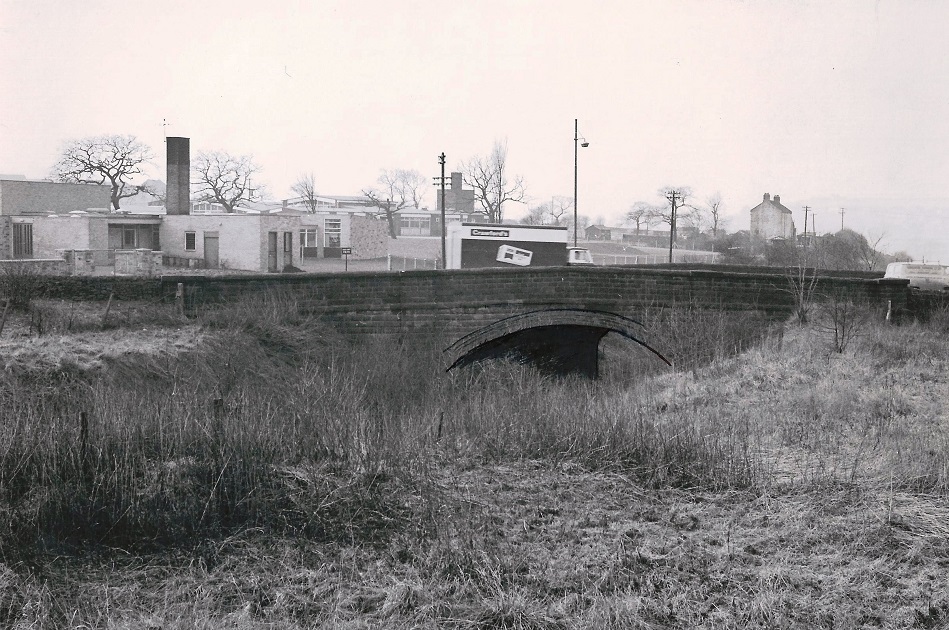
D354 – New Road Side Bridge, 1968.
New Road Side Bridge – 1968
In the foreground is the track bed of the former Yeadon Railway line, it was a goods line linked to the Guiseley line.
It was proposed that it could be used as a subway for children attending the school seen in the background.
This scheme was abandoned and the old track bed is now a green path linking Yeadon and Guiseley. (May 2014)
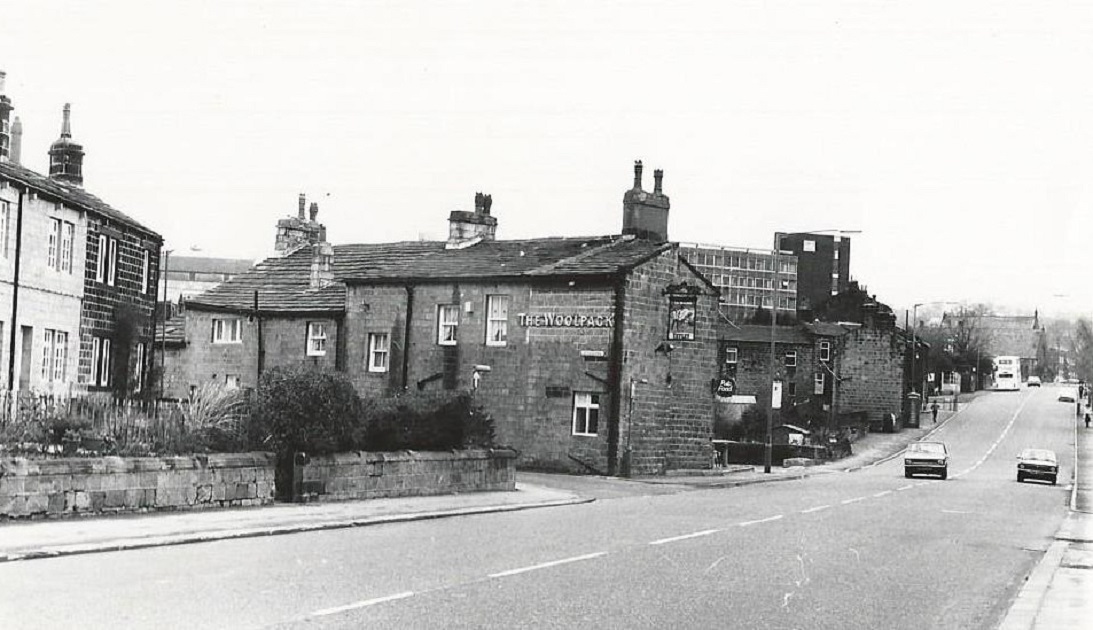
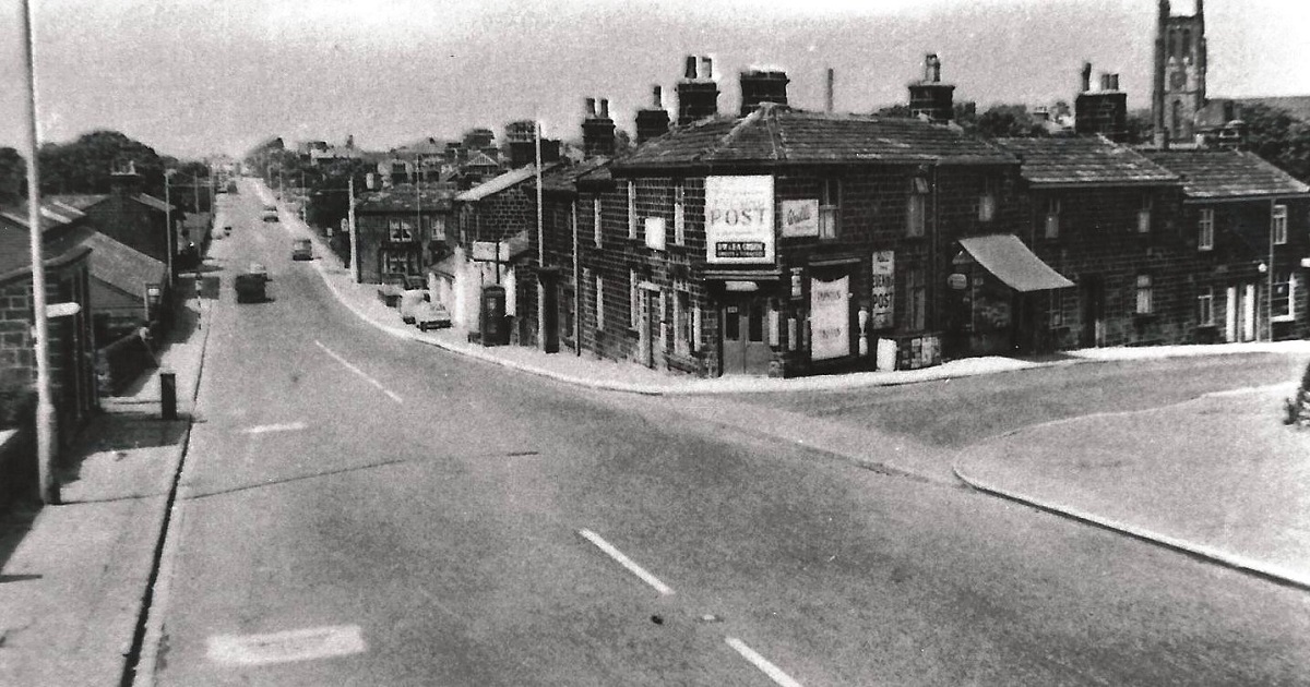
Y109 – New Road Side, 1983.
New Road Side – 1983
The Woolpack Inn, Gill Lane is to the left of the pub, Henshaw Lane is the next junction to the right.
Photographer Dennis Court.
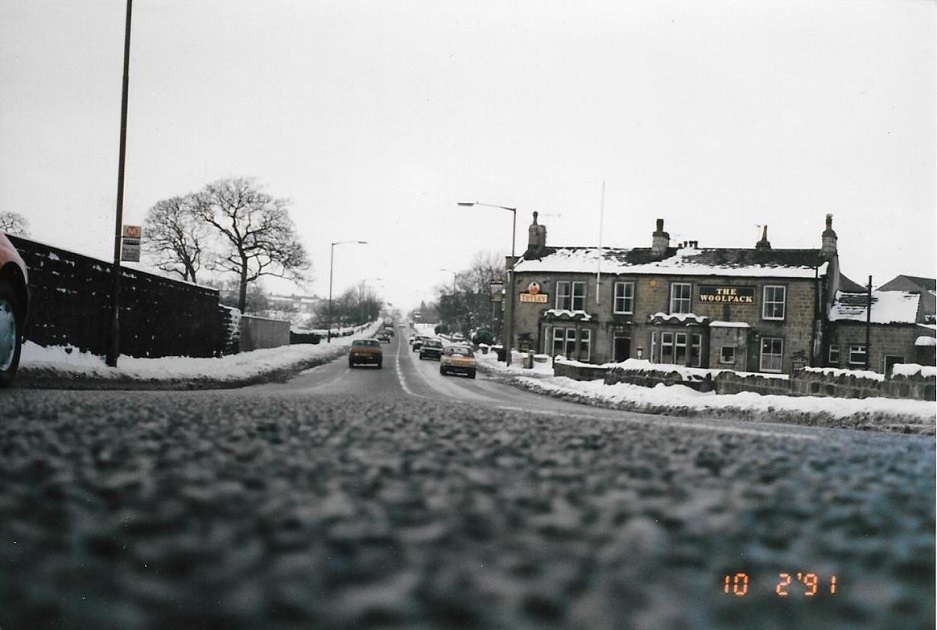
W207 – New Road Side, 1991.
New Road Side – 1991
A snowy view of New Road, the Woolpack public house is on the right.
Donated by Andrew Emsley.
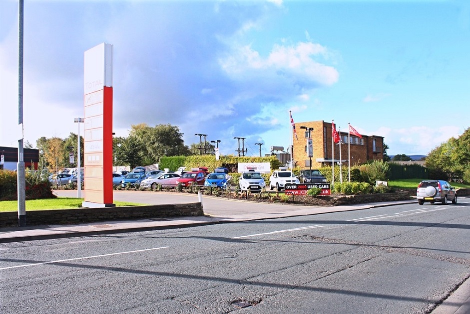
K440 – New Road Side, 2014.
New Road Side – 2014
New Road with the entrance to the Total petrol station and JCT car sales.
Photographer John Arundel.
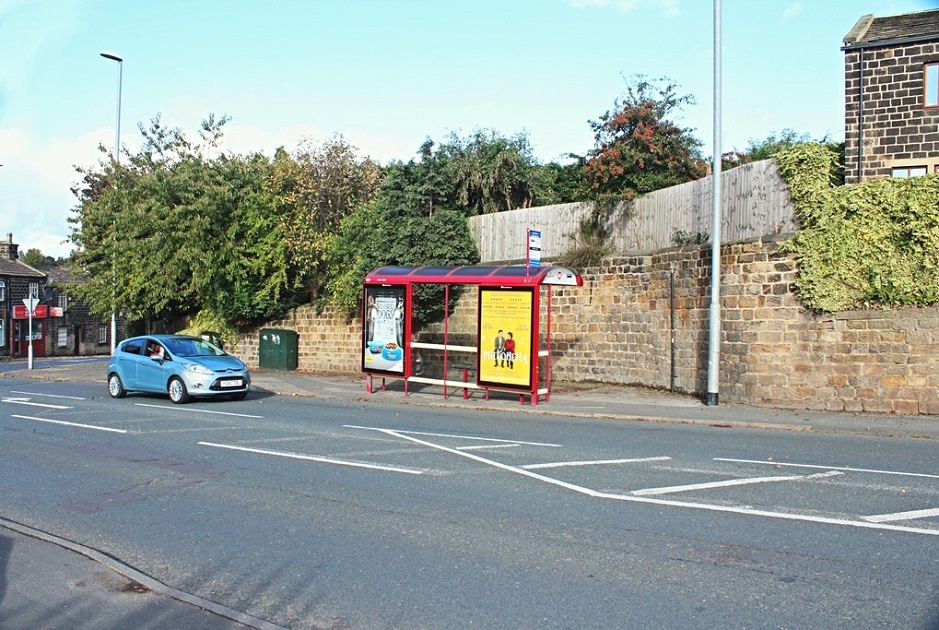
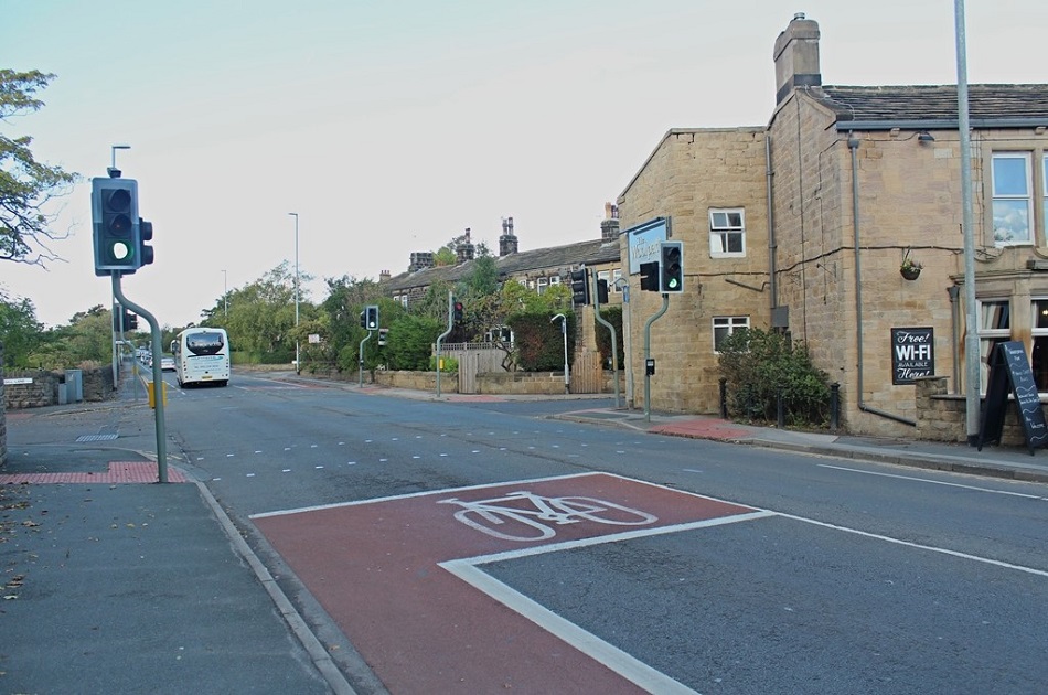
K451 – New Road Side, 2014.
New Road Side – 2014
Bus stop on New Road Side and to the left is Henshaw Lane.
Photographer John Arundel.
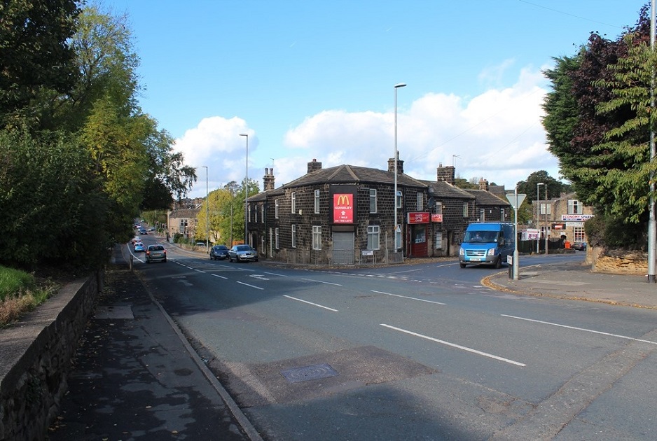
K452 – New Road Side, 2014.
New Road Side – 2014
Looking down New Road Side towards Guiseley, the Woolpack Inn is the light coloured building on New Road Side just to the left of a tree on the right side of the road.
Photographer John Arundel.
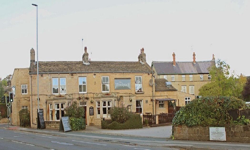
K462 – New Road Side, 2014.
New Road Side – 2014
The Woolpack Inn is located on New Road Side, it is one of the oldest pubs in Yeadon dating back to at least 1838 when the landlord was Rueben Craven.
Photographer John Arundel.
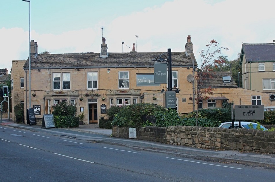
K463 – New Road Side, 2014.
New Road Side – 2014
K464 – New Road Side, 2014.
New Road Side – 2014
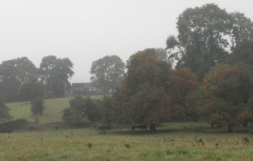
B598 – New Road Side, 2016.
New Road Side – 2016
Photo taken looking from New Road (A65) to fields located between Gill Lane and the Westfield estate a proposal to build houses on this site has been put forward.
Photographer Joanne Coultas.
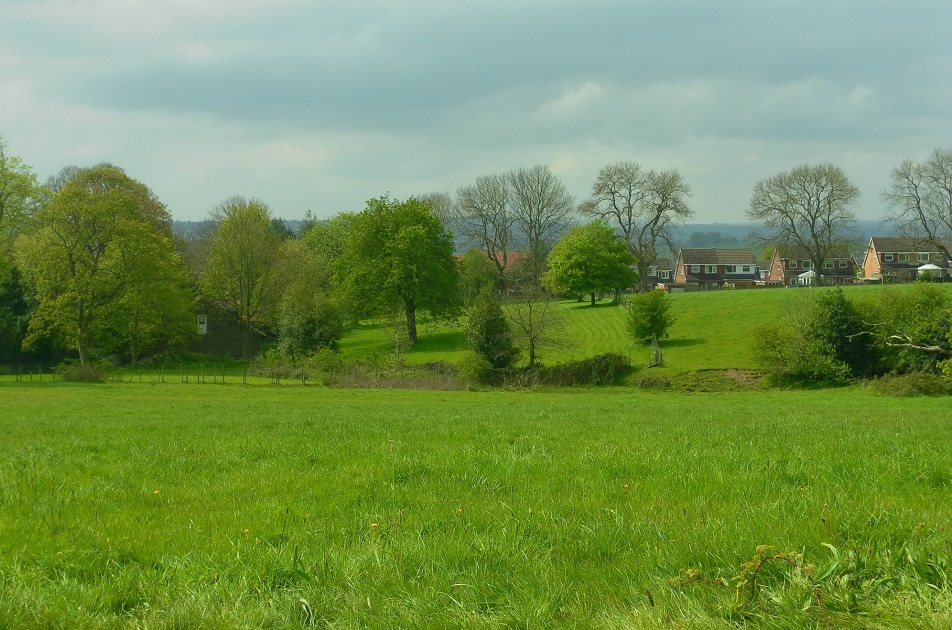
M758 – New Road Side, 2018.
New Road Side – 2018
Photo taken looking from New Road (A65) to fields located between Gill Lane and the Westfield estate a proposal to build houses on this site has been put forward.
Photographer Joanne Coultas.
Consolidated by Jack Brayshaw. 09 September 2021.
Last updated: 30 December 2022 – All images updated.