| Title | Otley Road |
| Date | 1988 |
| Location | Guiseley |
| Photo ID | PU215 |
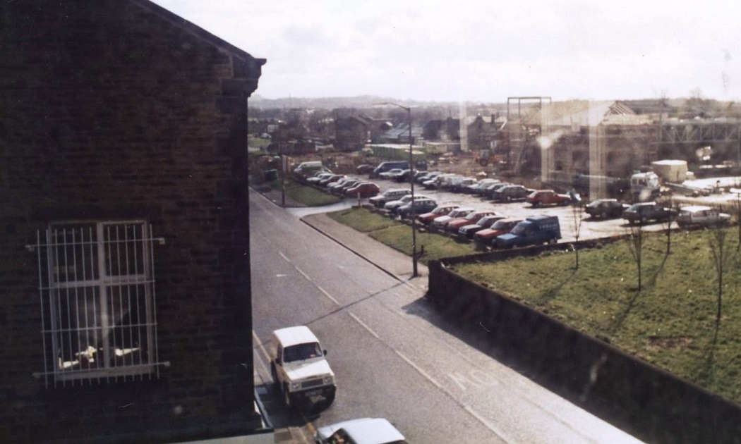
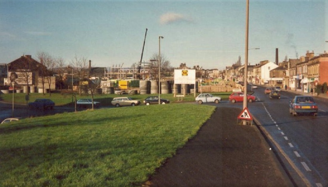
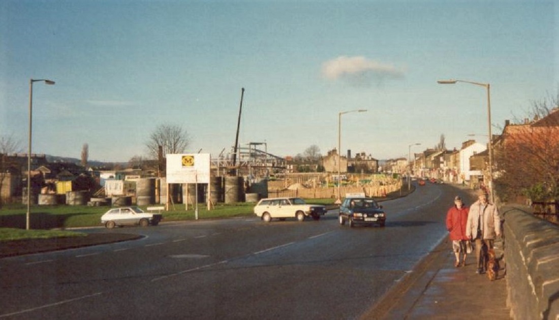
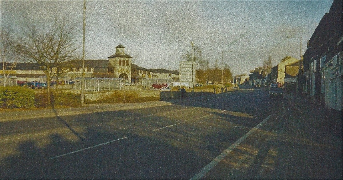
| Comment | On the left is the side view of a property at the corner with Springfield Place. The car park is for Morrison’s store which is under construction. Donated by Jane Blake. |
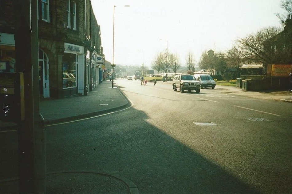
Otley Road – 1996
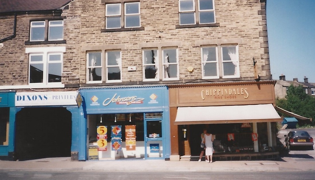
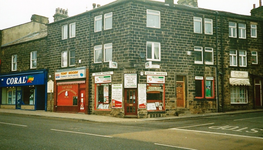
On the left is Vantage Pharmacy, J H Edmonds, formerly the premises of J Usher, chemist.
Next, C M Davies newsagent, Guiseley Library is out of view on the right. Behind the van is a house which was once the home of Betty Van Geloven. She had worked as a cook in a few of the local mill canteens.
Her husband Jon was a glass worker, one of several Dutch men who came to work at Crompton Parkinsons.
He joined the British Army and lost his life in the 2nd World War, leaving Betty with a son who later emigrated to Australia.
Image donated by Lynne Moxon.
Otley Road – 2002
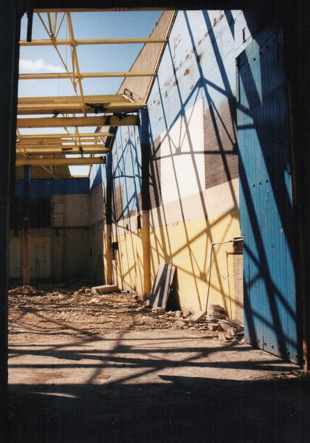
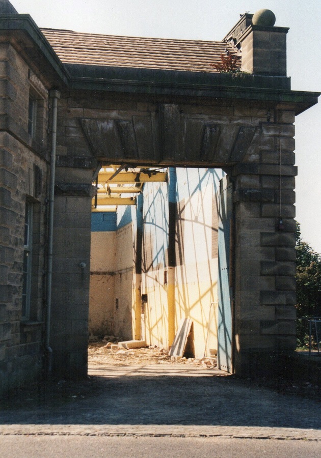
Located on Otley Road, this was the old tram shed.
The height of the entrance demonstrates the headroom needed for the trams to pass.
When it was no longer used as a tram shed it was occupied by a family firm Spooner Engineering, who are now located in Ilkley.
Next, it was Arnold Laver’s DIY store, at the time the photos were taken the building was being converted into apartments and a fitness centre.
Photographer Charles North.
Otley Road – 2004
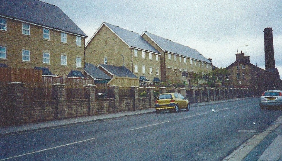
New houses face the road which were built between Back Lane and Otley Road. The streets were given the names of Anglo-Saxon Kings, Edwin and Redwald, also Saint Oswald.
The estate was further expanded when Wilson’s former pram works (seen on the right) was demolished and the site used for more dwellings.
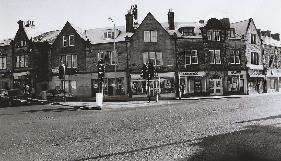
Otley Road – 2006
Otley Road (A65) is in the foreground, the cars waiting at the traffic lights are on Oxford Road.
To the left is Guiseley Post Office. The premises with the “Lease For Sale” sign was previously a bank.
Moving right, next is a “Help the Aged” charity shop, the Halifax Building Society, Guiseley News and Boots chemist on the right.
