
| Title | Woodlea Close |
| Date | 1955 |
| Location | Yeadon |
| Photo ID | G025 |
| Comment | The Woodlea Estate is located in the Westfield area of Yeadon. These were MAP (Ministry of Aircraft Production) homes built to house people brought into the area to work at the AVRO factory during WW2. Now demolished and replaced by permanent houses. |
To see further information on this photograph together with previous comments from residents and others, please – Click Here
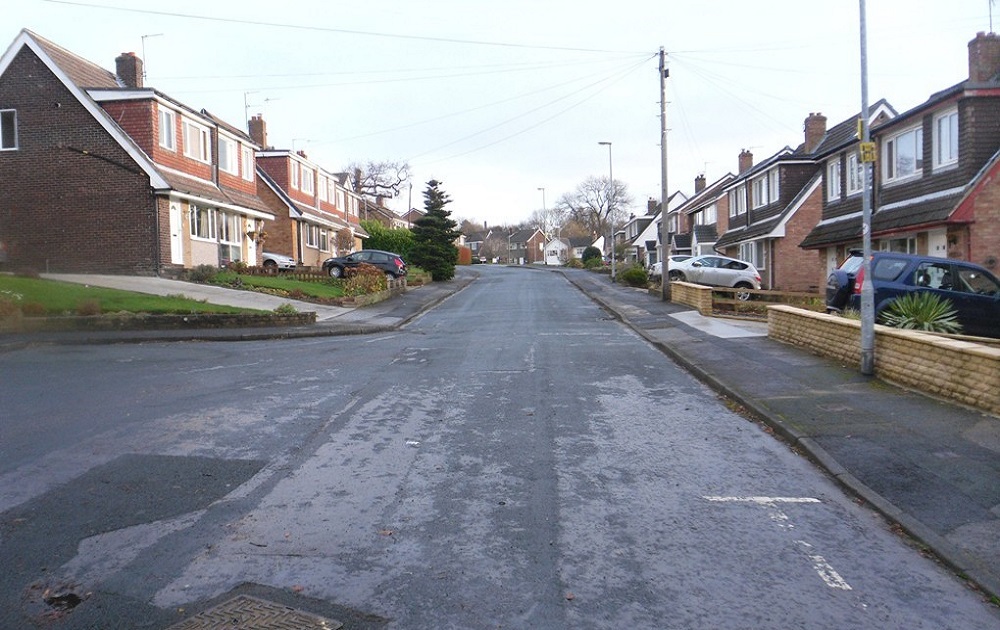
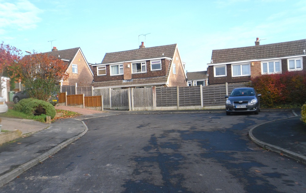
B479 – Woodlea Close, 2013.
Woodlea Close – 2013
Vastly different to when the MAP homes were located on Woodlea Close.
Photographer Joanne Coultas.
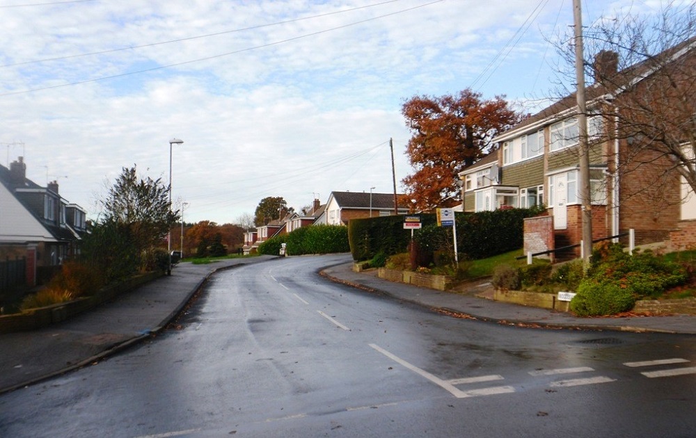
C330 – Woodlea Road, 2013.
Woodlea Road – 2013
Photographer Joanne Coultas.
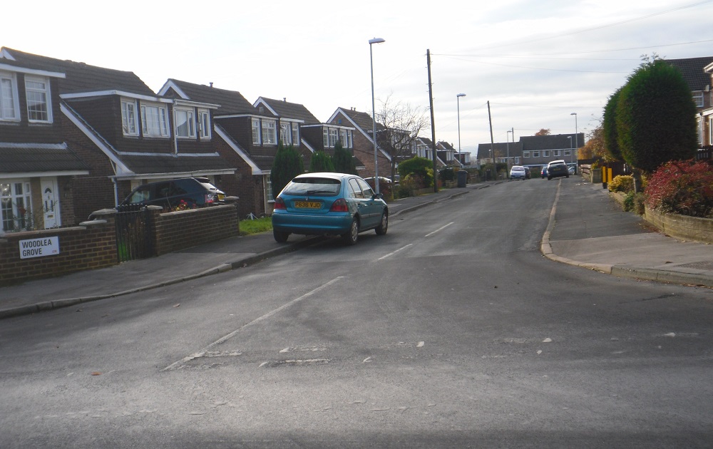
D425 – Woodlea Grove, 2013.
Woodlea Grove – 2013
Photographer Joanne Coultas.
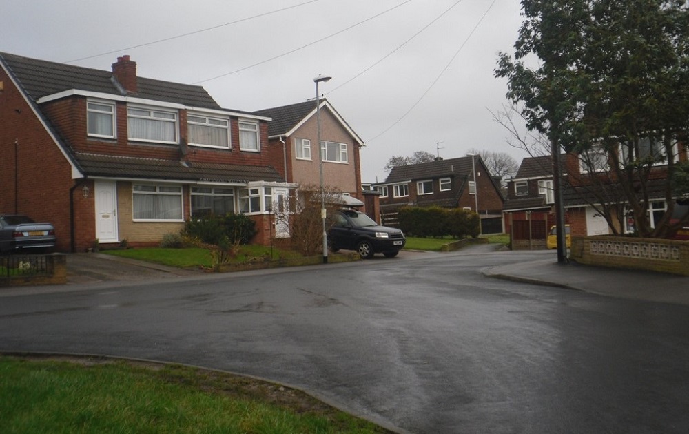
F380 – Woodlea Drive, 2014.
Woodlea Drive – 2014
Photographer Joanne Coultas.
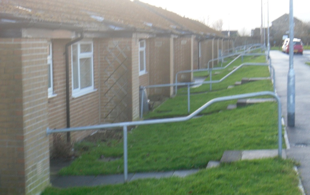
T275 – Woodlea Mount, 2014.
Woodlea Mount – 2014
All of Woodlea Mount consists of bungalows for the elderly.
Photographer Joanne Coultas.
C189 – Woodlea View, 2014.
Woodlea View – 2014
Photographer Joanne Coultas.
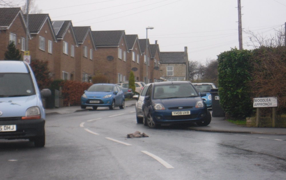
C408 – Woodlea Approach, 2014.
Woodlea Approach 2014
A mix of houses and elderly bungalows.
Photographer Joanne Coultas.
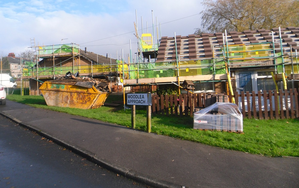
T326 – Woodlea Approach, 2014.
Woodlea Approach -2014
Replacing roofs on the bungalows for the elderly.
Photographer Joanne Coultas.
Consolidated by Elaine Ellwood. 01 September 2021.
Last updated: 10 January 2023 – All images reviewed.