
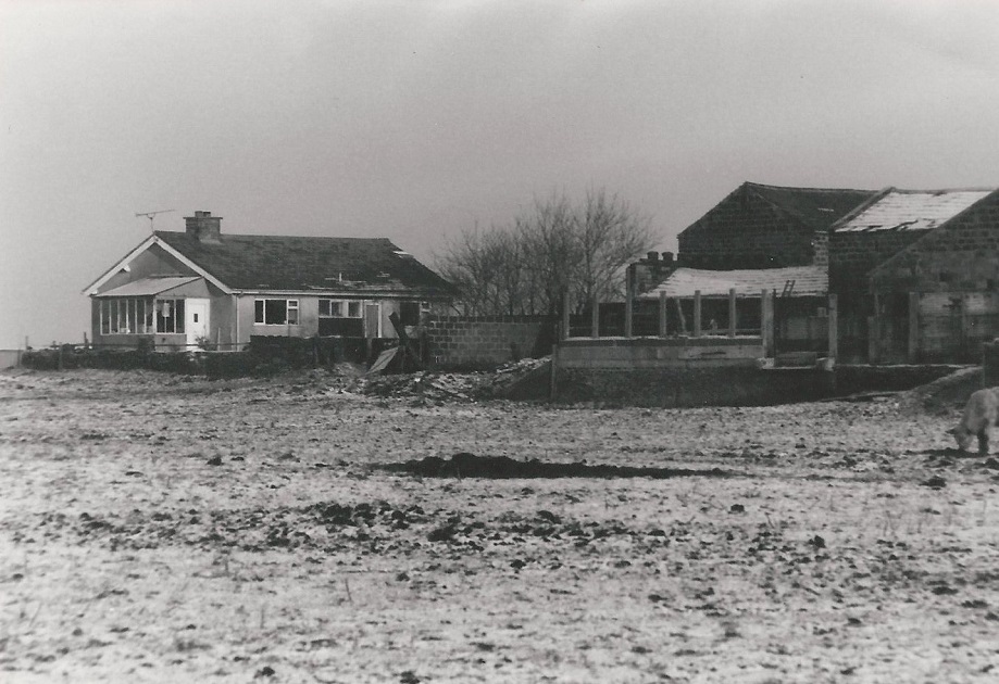
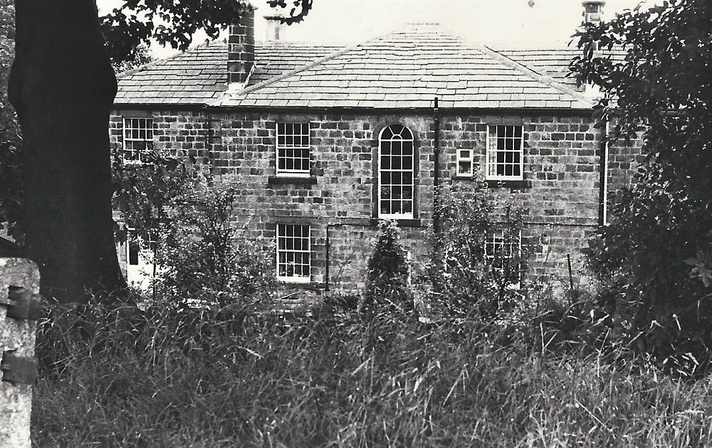
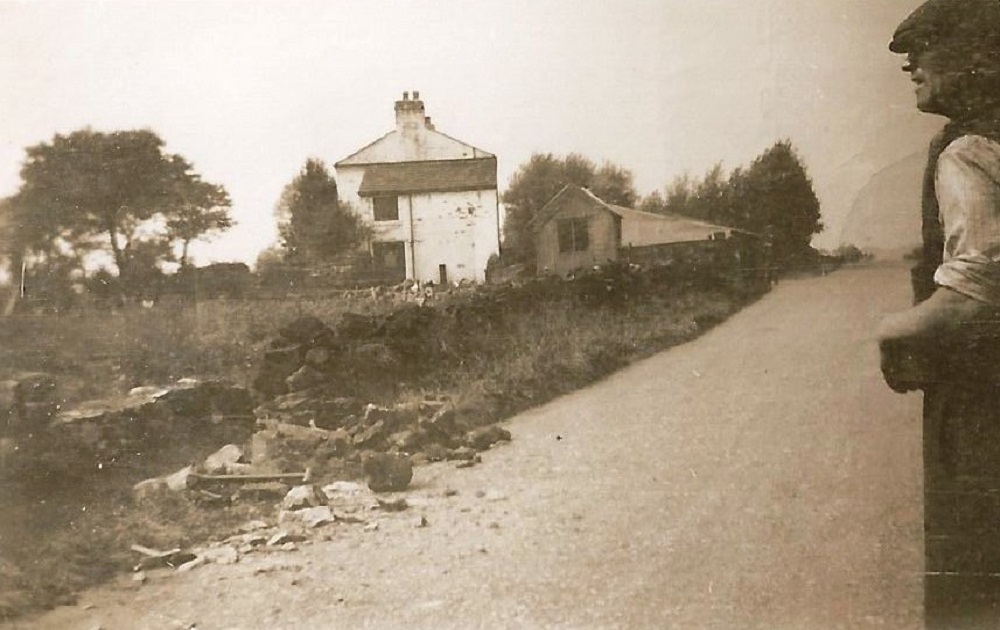
Warren House Farm 1857 – 1982 (2)
South-West view of Warren House Farm, on the left is a new bungalow. The property was demolished for a runway extension for Leeds Bradford Airport.
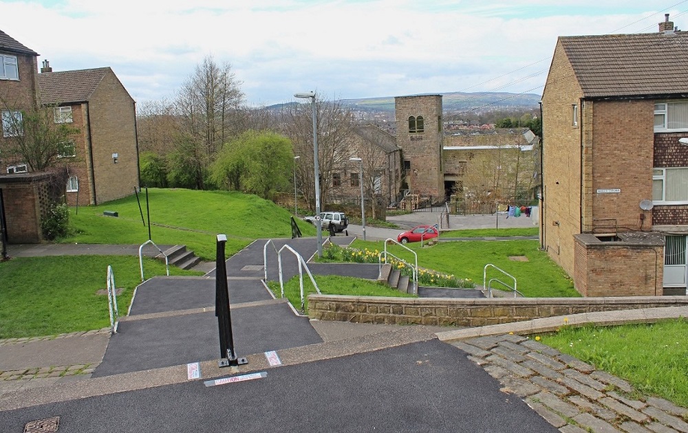
Wells Court
To the left is Abbey Garth, Wells Court is the apartment block on the right. The steps lead down to Well Lane where the cars are parked then down to Miry Lane which runs past the Old Dog Mill.
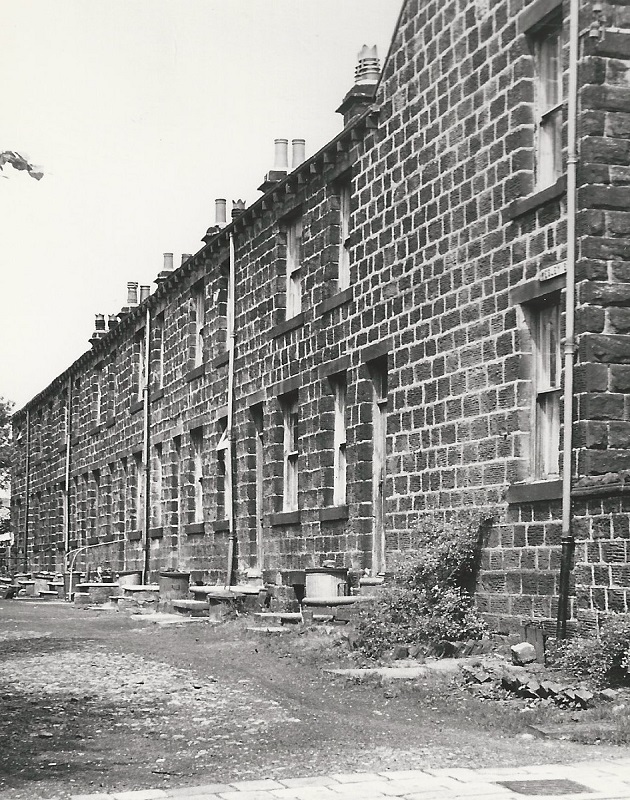
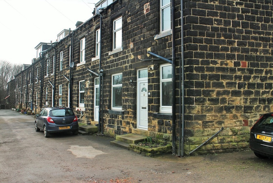
Wesley Street
These houses on Wesley Street were back-to-back with properties on Copt Royd Street. Both Streets were demolished. Copt Royd Grove replaced them with new housing.
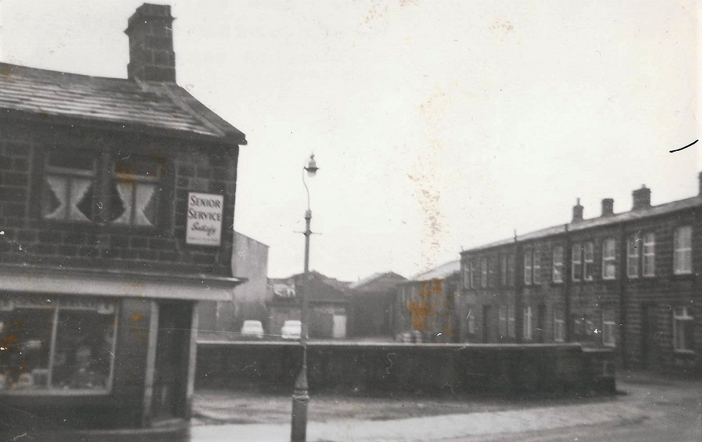
West Yorkshire Yard
The shop on the left is now “Tribe” barbers on the upper High Street, at the bottom corner of the yard is Wilson’s chemical business. The area is now…
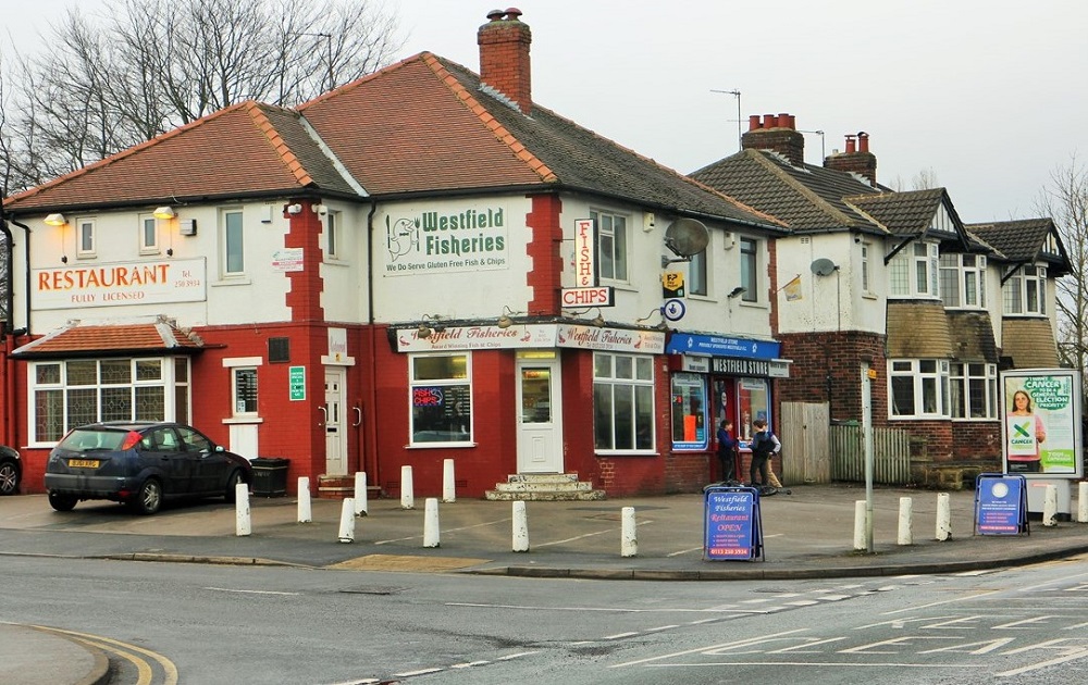
Westfield Estate
Westfield fisheries and restaurant is located at the junction of Westfield Avenue and New Road, adjoining on the right is Westfield Store.
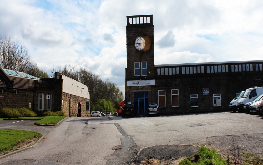
Westfield Industrial Estate
Located off Kirk Lane, this was formerly Eddie Denison’s Mill it is now divided into various industrial concerns….
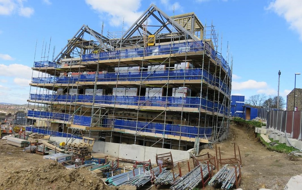
Wharfedale View
Construction of apartments for the elderly and people with additional needs, along with cafe and lounge areas. Built on…
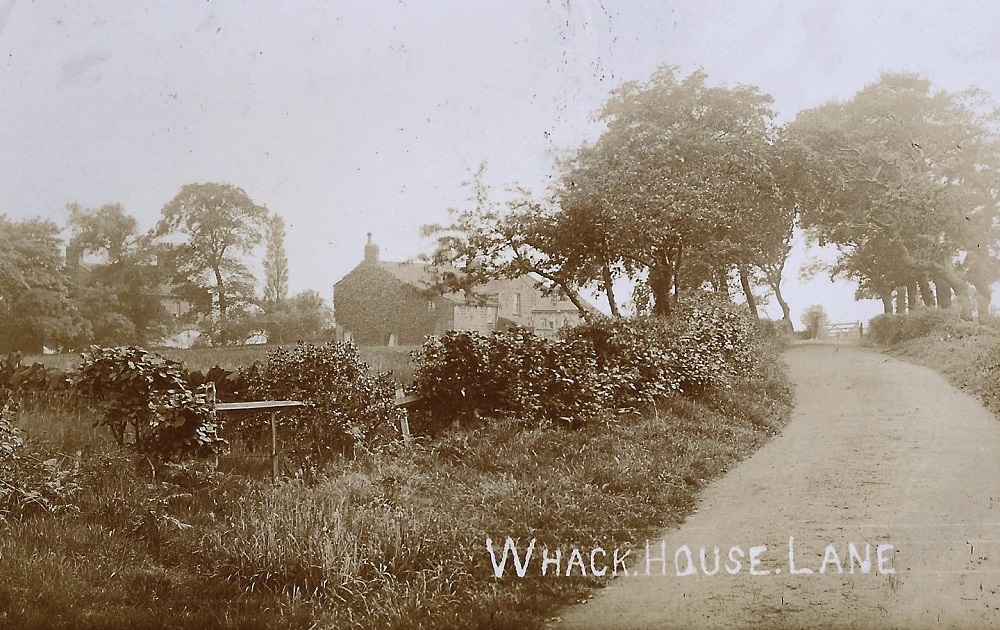
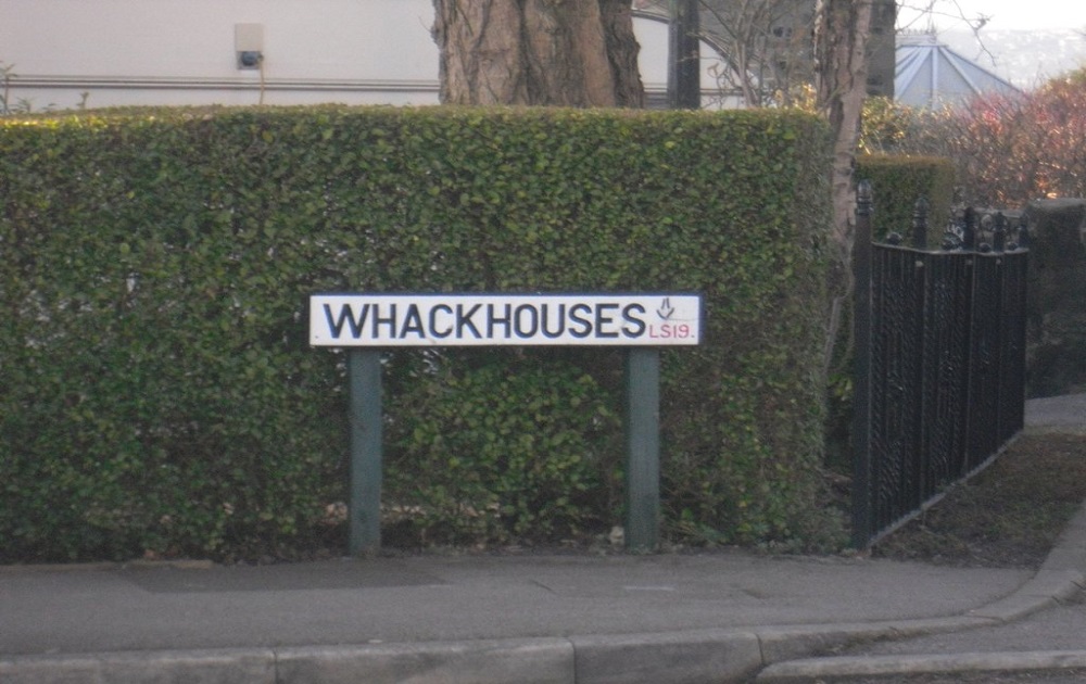
Whitehouse Lane
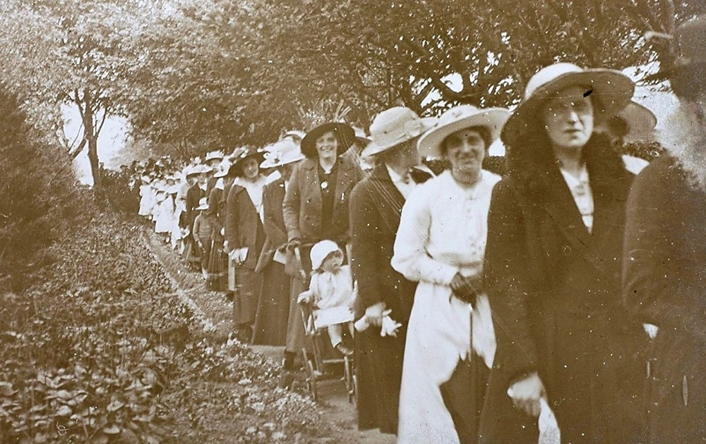
The information with this image states: “White House before demolition”, would this have been on Whitehouse Lane near the airport?