Millbank/Banksfield
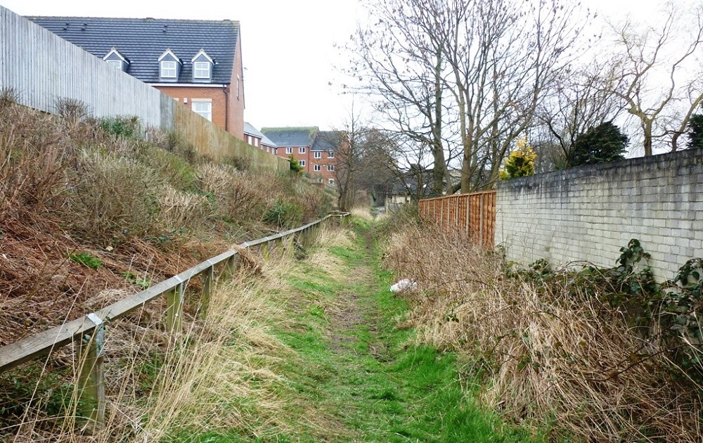
These two images are of the track which runs between Millbank and Banksfield Avenue, from Otley Road to Banksfield Crescent.
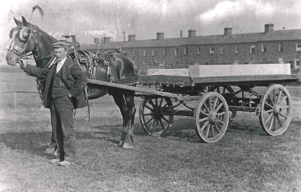
Mitchell Yeadon & Sons
Mitchell Yeadon stands with his horse and cart ready to take part in Guiseley Carnival. The location is what…
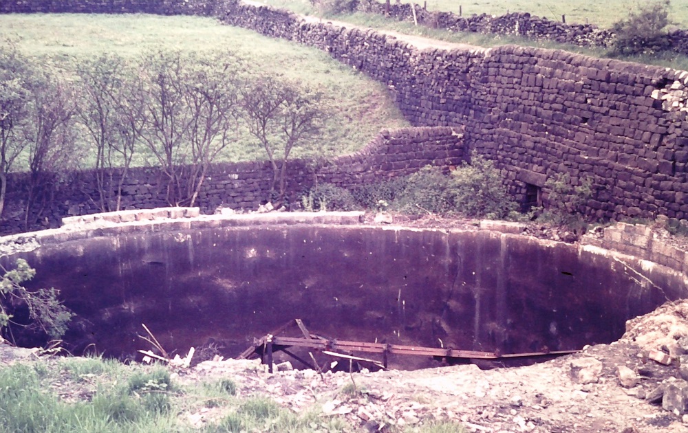
Moor Lane Reservoir
A disused reservoir on Moor Lane located just above Mount Pleasant. On the 1908 Godrey edition map it is marked as the property of Guiseley Water Supply Co.
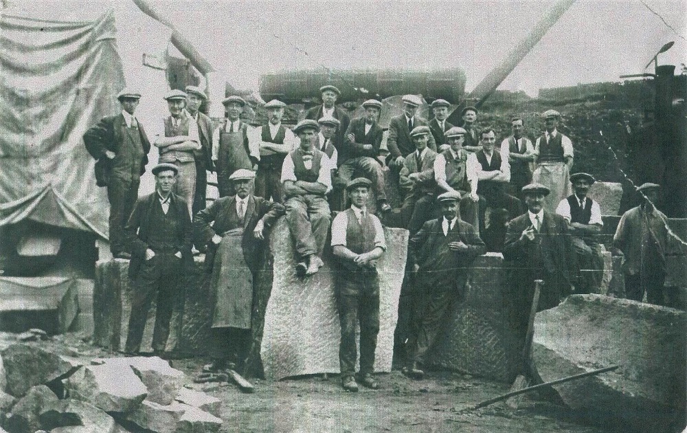
Moor Top Quarry – 1927
Quarrymen and stonemasons sitting / standing on quarried stone. Second in from the left on the front row is Alfred Baldwin.
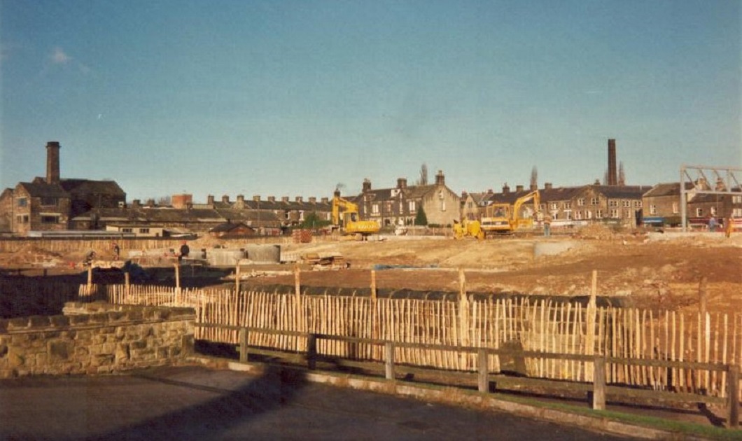
Morrison’s Supermarket
The site of Morrison’s Supermarket seen from Park Road, Hallam Street is to the left, the mill chimney seen here is part of…
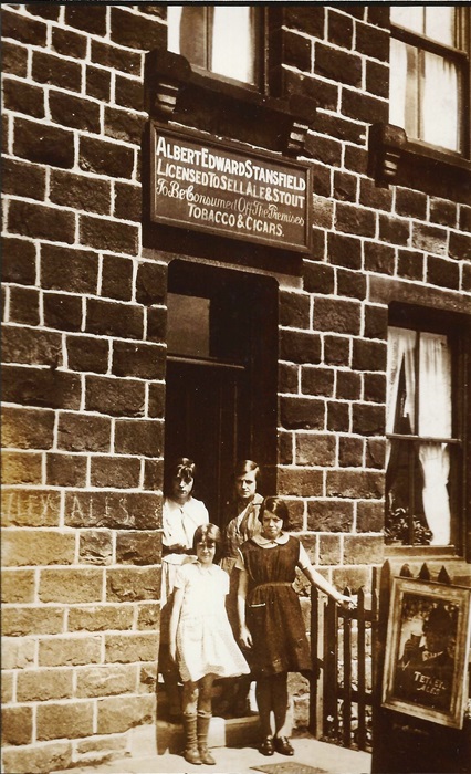
Morton Terrace
This photo of a shop on Morton Terrace was submitted by Irene Ellis nee Gooder. The shop was jointly owned by her mother Margaret Stansfield with aunts Nancy and Dorothy Stansfeild, also Irene’s grandfather whose name is above the shop, Albert Edward Stansfield.
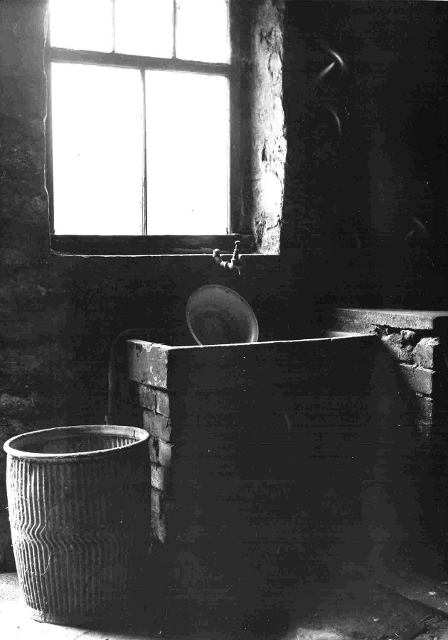
Mount Pleasant
This image of a wash house to the rear of the property was donated by Jack and Pat Halliday who told us “Pat’s parents lives at 3 Mount Pleasant, her father Eddie Armitage took this photo….
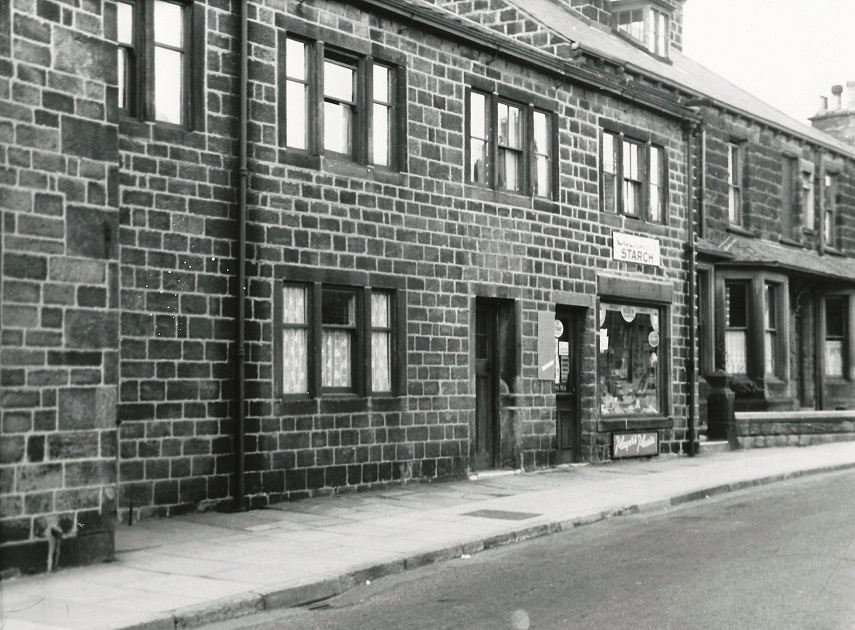
Mrs Streets Shop – 1955
Located on Town Street. Photographer James Farrar, donated by his son David.
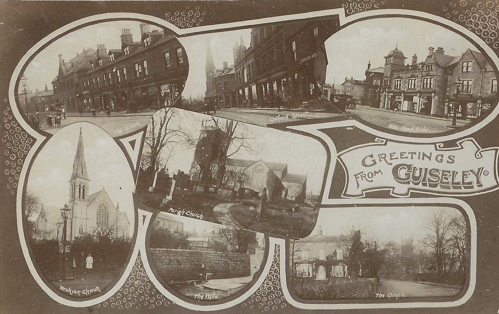
Multi-View Postcards
Postcard with 7 images of Guiseley, top left is a view of The Green looking from the junction with Otley Road. The houses are part of Belle Vue…
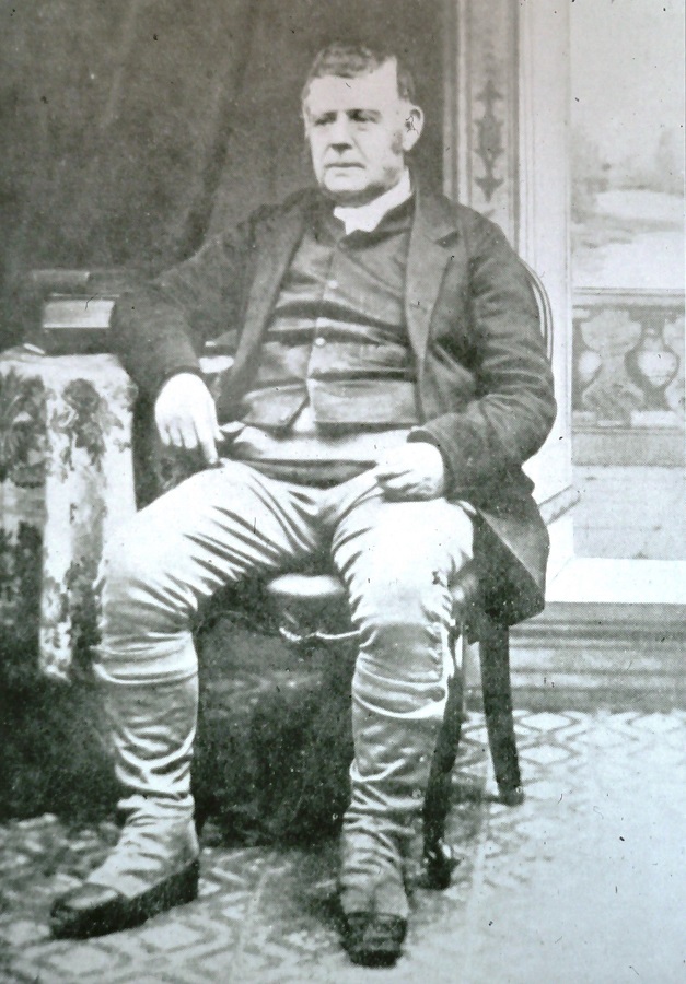
Murgatroyd, James – c1890
James Murgatroyd of Shipley, he laid one of the foundation stones for the Wesleyan…
