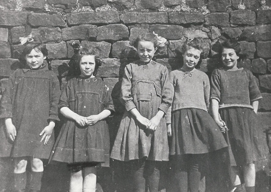
Bingley Lands
These girls are outside 5 Bingley Lands, from left to right they were : Thora Cribb, Ellen Greep, Bertha Maude, Nora ? and Eva Barker.
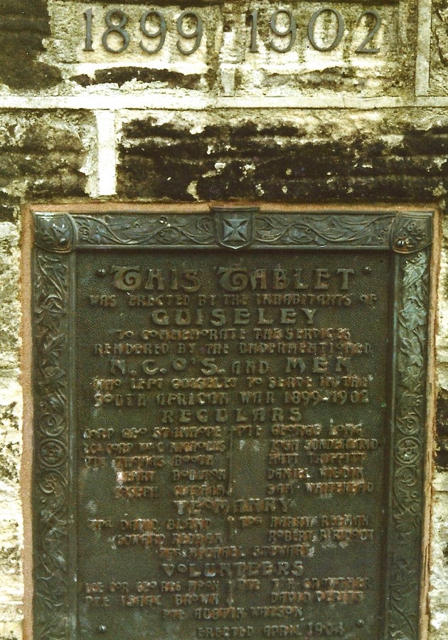
Boer War Memorial, 1899-1902
A memorial to the men of Guiseley who fought in the Boer War. This memorial plaque forms part of the WWI memorial situated on Towngate.
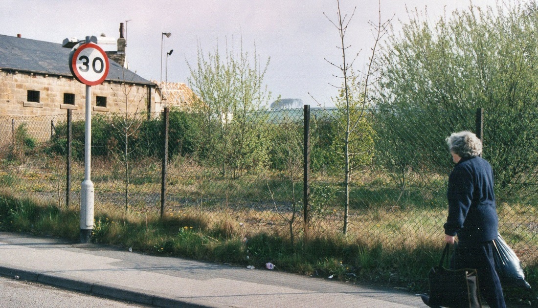
Bradford Road
The donor of this photo Charles North gave the following description: “An overgrown strip of land which stretched from the White Cross Hotel’s stone outbuilding on…
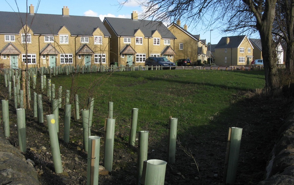
Branwell Estate
The site of Branwell Park site seen from Netherfield Road and saplings planted inside protective sleeves. Photographer Charles North.
Butts Lane & Butts Terrace
This street is located off Butts Lane, the front of the houses look towards Springfield Road.
Cavendish Road
Cavendish Road lies between Back Lane and Victoria Road. The fields on the left have houses built on them now (December 2012), the view looks…
Chapel Street
This and the second image – Situated off Oxford Road, the large building on the corner is Oxford House once the home of James Bowling…
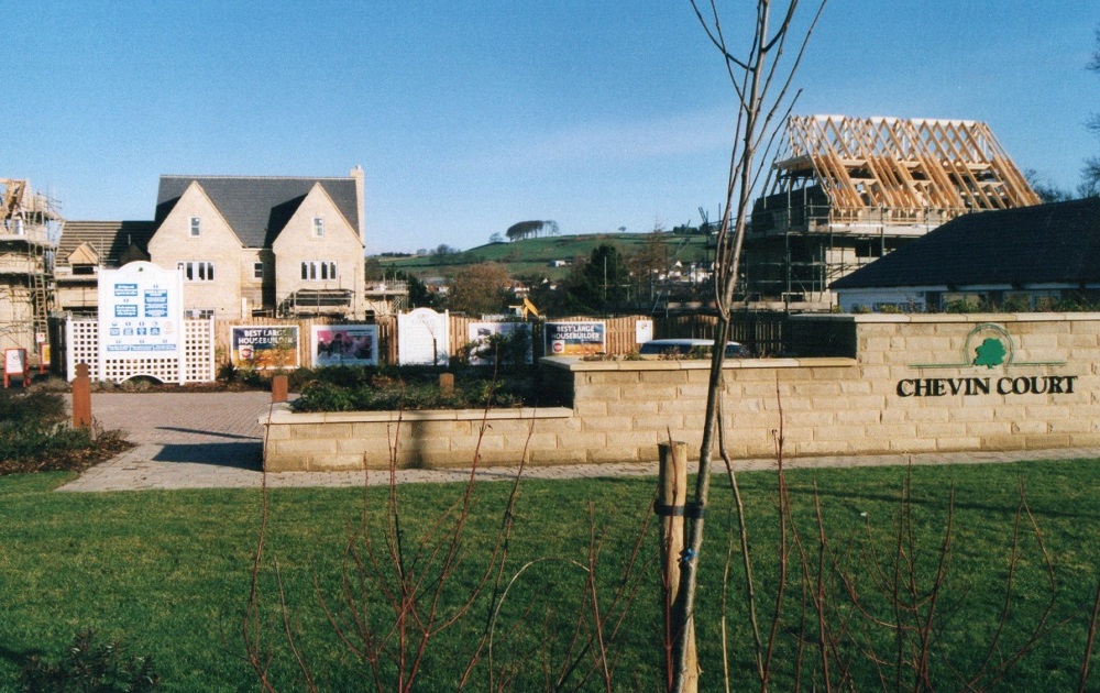
Chevin Court
Chevin Court on Otley Road was built on the site formerly occupied by Greenwoods outfitters offices. Photographer Charles North.
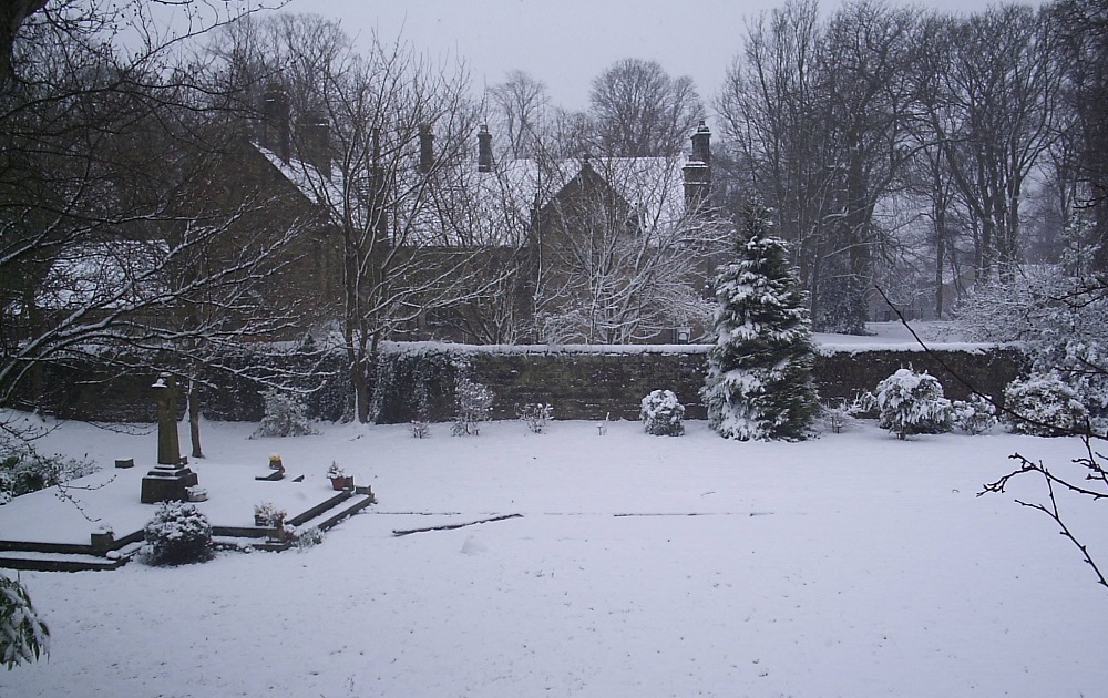
Church Cottage
iew to the old Guiseley Rectory from the graveyard of St. Oswald’s Church, it is now in private ownership.
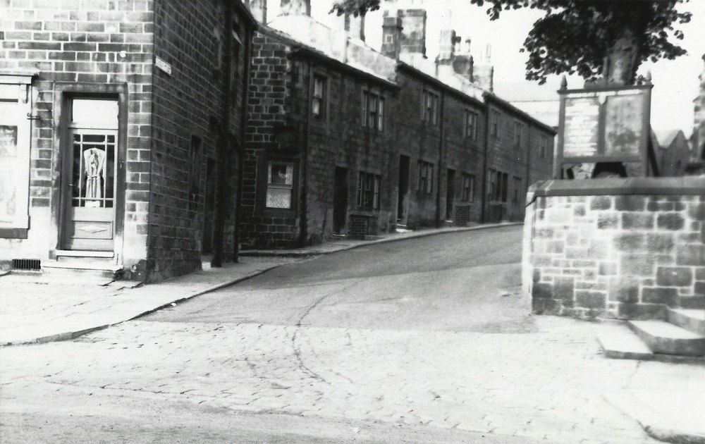
Church Street
Situated off Towngate next to St. Oswald’s Church, the church notice board is on the right. The shop on the left was absorbed into the New Inn public house …