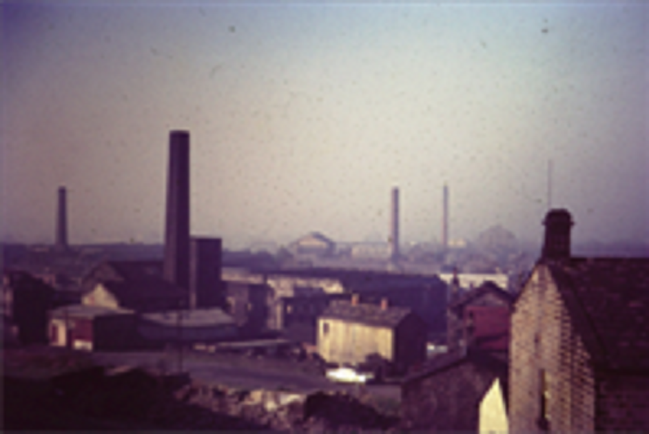
Mill Chimneys
Is this a view of Eddie Denison’s Westfield Mill? The 2 chimneys to the left would belong to the Old Dog and Manor Mills, the one on the right to Albert…

Ministry of Aircraft Production (MAP) Bungalow
These houses were erected by the Ministry of Aircraft Production (MAP) to provide homes for people who had come to work at the A V Roe factory next
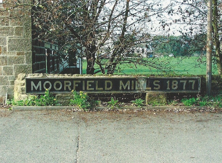
Moorfield Mills
Sign to mark the boundary of Moorefield Mills which were demolished in 1972. It is no longer in situ (February 2013)
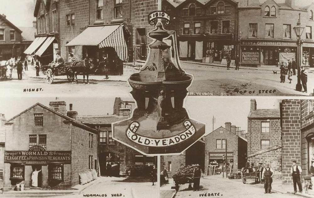
Multi-View Postcards
In the centre is Yeadon Fountain, top left shows the bottom of the High Street at the corner with Silver Lane. Top right has the opposite side of the High Street…
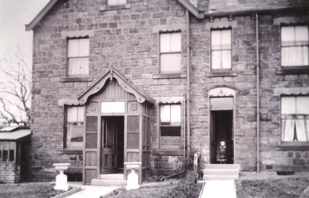
Netherfield Terrace
Large stone terrace house on the left, a small child stands in the doorway of a smaller adjoining house on the right.
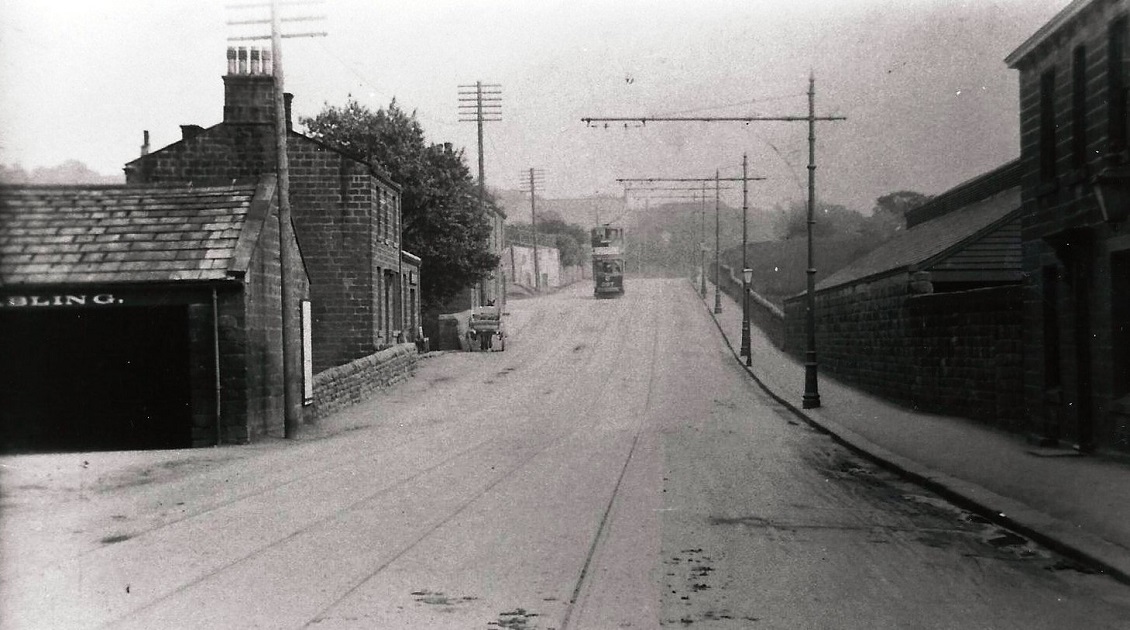
New Road Side
New Road Side (A65), looking in the direction of Rawdon, on the left but not in view is the Woolpack Inn, the partial sign is advertising stabling for horses at the Woolpack…
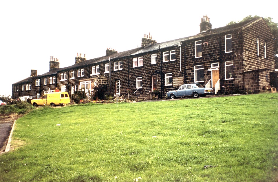
North Terrace
Front view of North Terrace, St Andrews Church (now New Life Community Church). (September 2013) lies just behind.
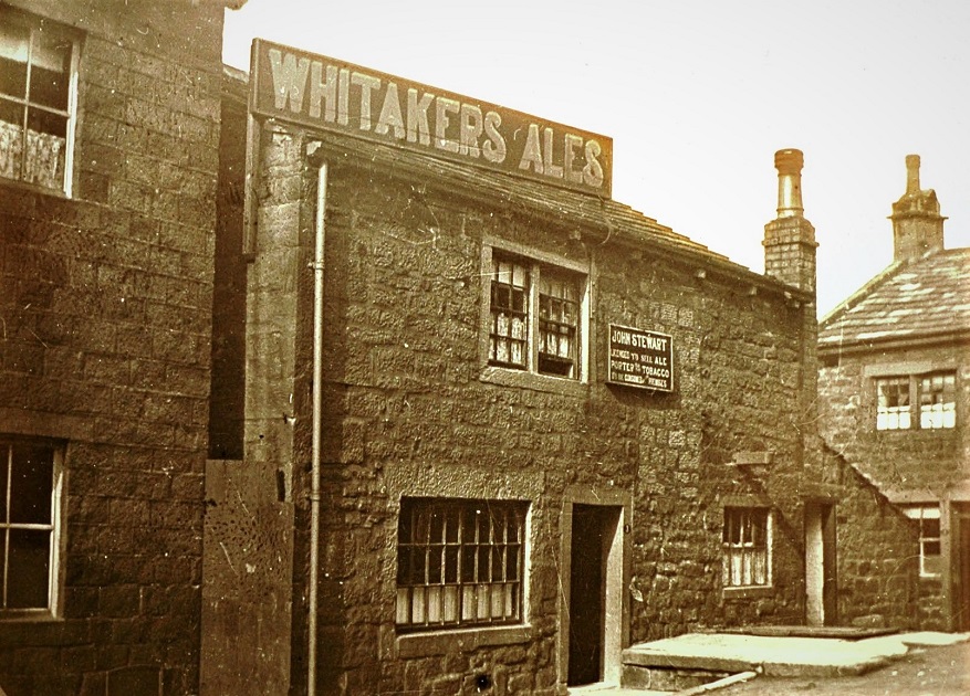
North Yard
North Yard was located off Haworth Lane, the Public House was ‘The Old House at Home’ and it closed in December 1909.
