Fountain (1)
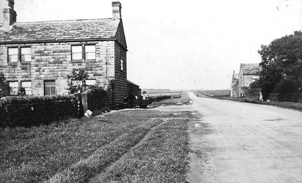
n image taken pre 1902 of Victoria Avenue and it is thought that it is the same image as shown below (G088) with the building on the left not shown presumed demolished.


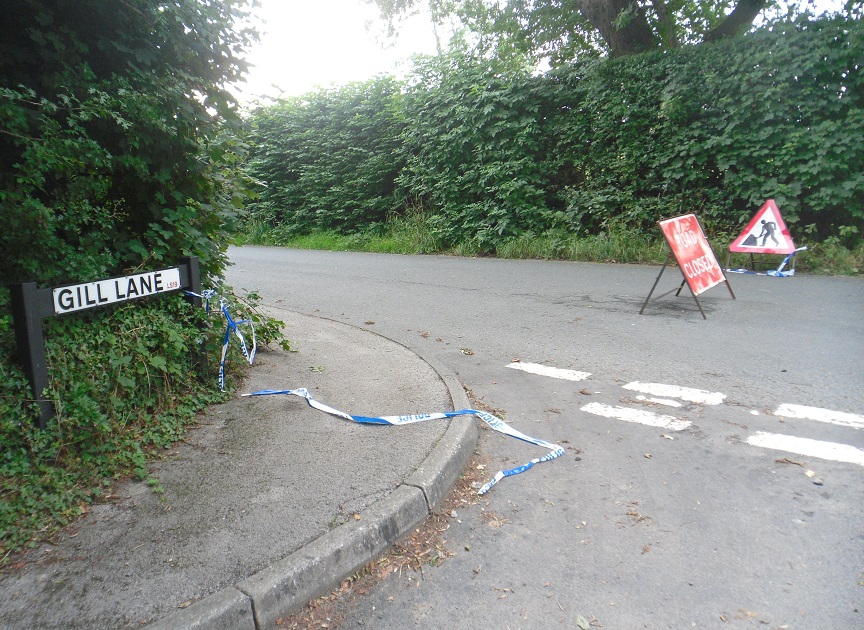
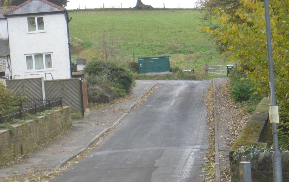
Gill Lane (3)
The road surface collapsed after heavy rain, the road closure ran from just past Highfield to the junction of Warm Lane / Gill Lane. It is…
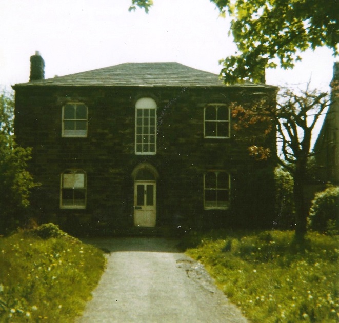
Grange House
This building was demolished in 1973, the photograph was taken by Stephen M Teale. A note states “Teale Residence, Grange Estate”.
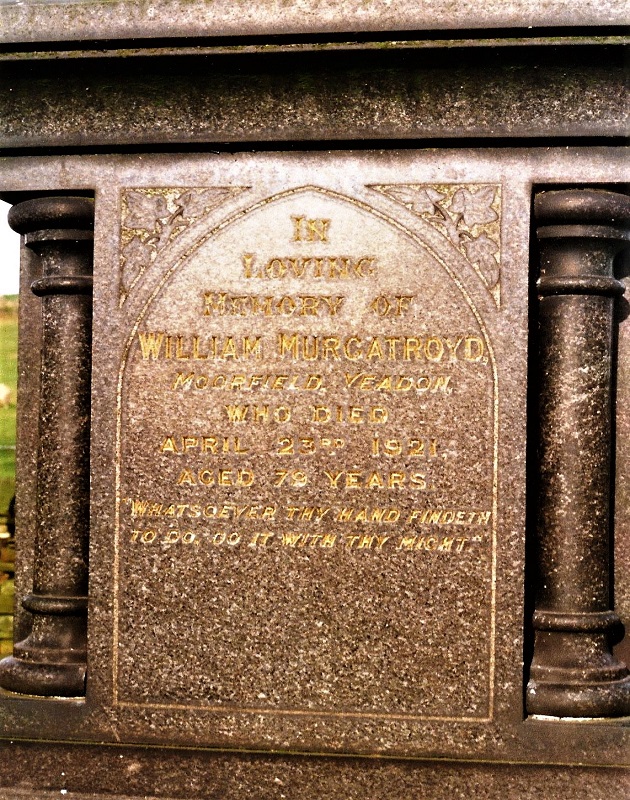
Gravestone of William Murgatroyd
William Murgatroyd known as “Billy Murg”. An enterprising man who put Yeadon as a town on the map. Owner of Moorfield Mill, which was on…
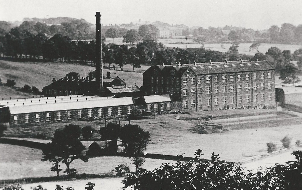
Green Lane Mill 1868 – 2014
This mill was built in 1868 on land which was purchased from Rawdon Baptist Church. A clothier who lived…
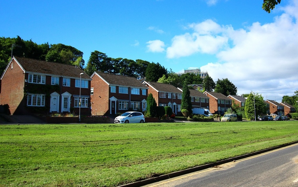
Greenacre Park Avenue
View of Greenacre Park Avenue seen from Green Lane, the top of Benton Park school building appears above the trees.

Greenlea Estate
Greenlea Road which is in the Westfield area of Yeadon, This view is looking towards Gill Lane.
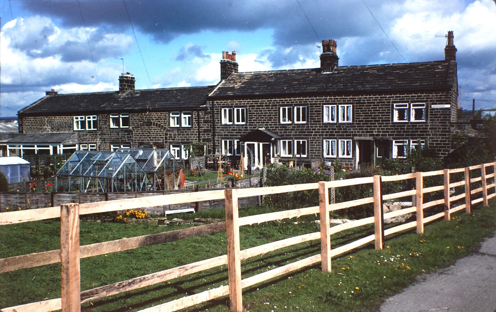
Harper Lane
Looking towards Harper Rock which is the terrace of stone cottages in the middle of the view. On the left are cottages which were demolished, Lane Fox Court…