
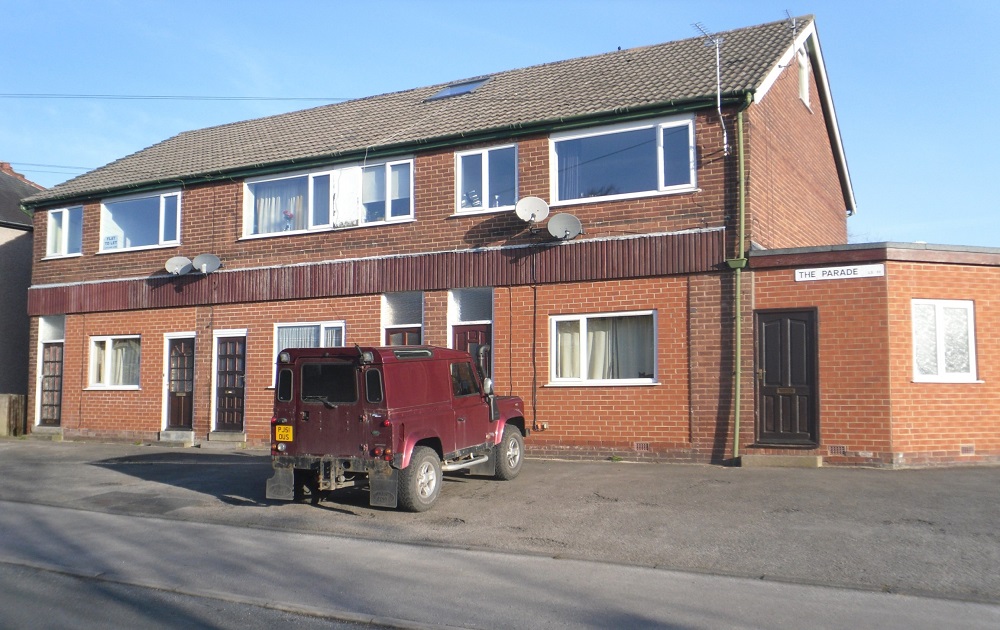
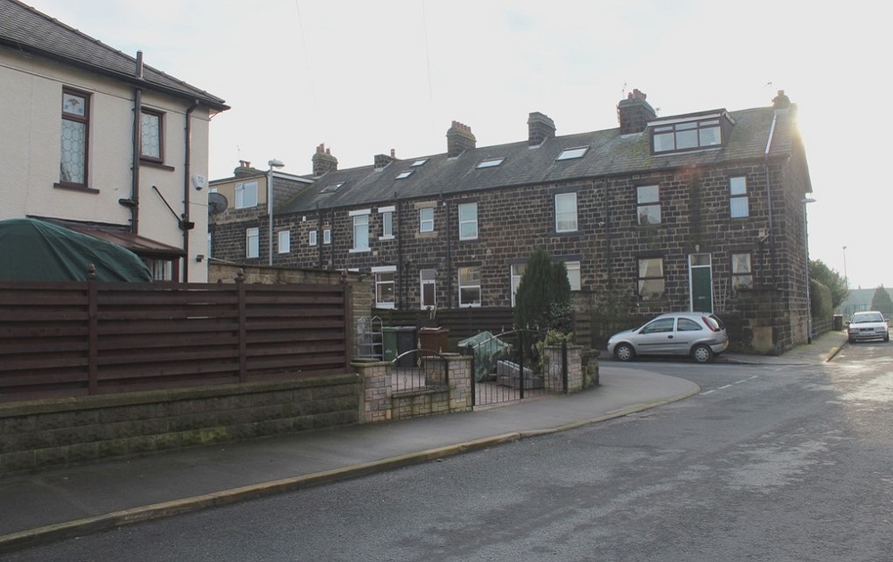
The Parade
The Parade, Westfield. Previously these were shop units and have now been converted to residential use. Photographer Joanne Coultas.

Town Hall (1)
When the Town Hall opened in 1880, there were other properties in front of it. The Old School, Poll Marsden’s lodging house and a shop…
Town Hall (3)
Town Hall Square seen from the High Street, on the left is Yeadon Library, soon (July 2015) to reopen following refurbishment. It…
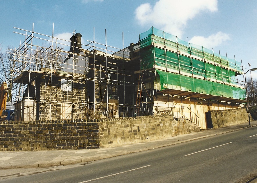
Trades Hall
Situated on Harper Lane, the older part of the building was Croft House, it was incorporated into an extension to become the Trades Hall…
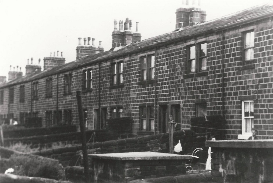
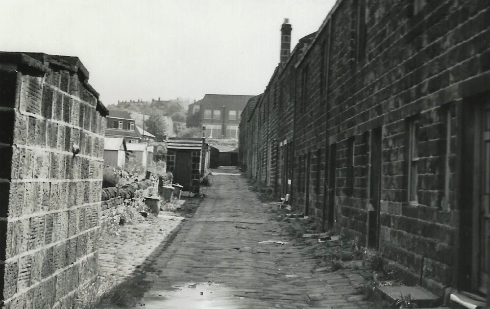
Varleys Fold
Varleys Fold was entered from Ivegate near the Harper Lane end, this area was once known as Temple Bar. So far in, the street took a sharp…
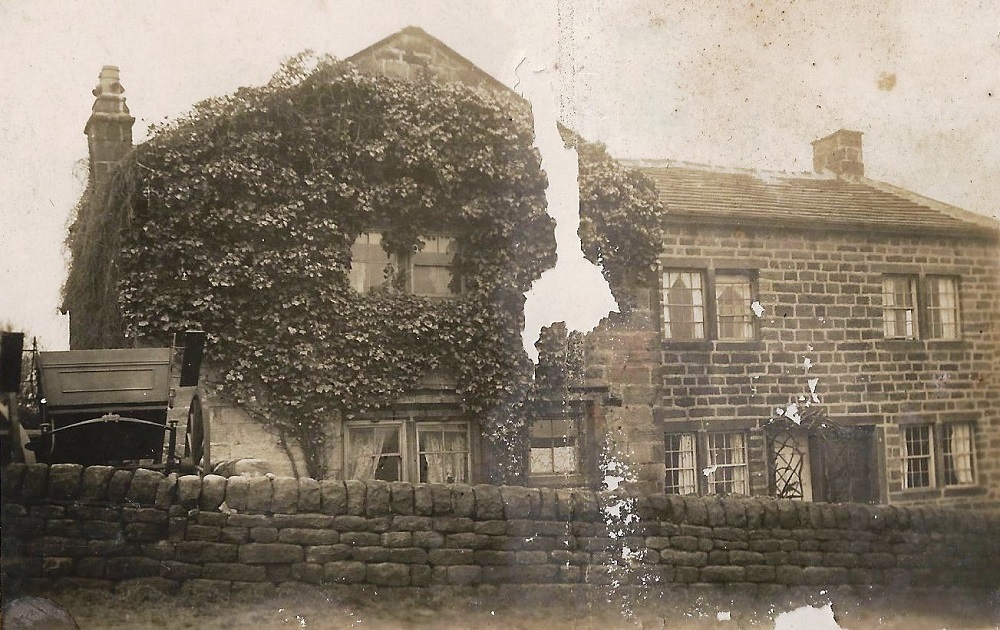
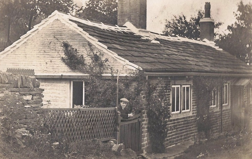
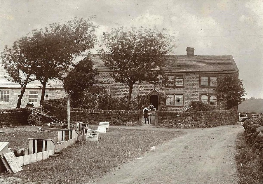
Warren House Farm 1857 – 1982 (1)
The dwelling seen here was one of a complex which comprised Warren House Farm, off Cemetery Road. This building dated back to the 17th Century, it was adjacent to Coney Park, a rabbit warren…